|
| Santa Paula Canyon Lower Falls Along the Last Chance Trail |
The beauty of lower Santa Paula Canyon with all its many crowd pleasing attractions for hikers is definitely no secret. What's not to love about big waterfalls, stream side camps, swimming holes, and mostly year round flowing water. Weekends here in the lower Canyon can and do get busy especially once weather warms. For me the thought of crowded places especially in the wilderness is normally a deal breaker. Luckily here one can easily escape into a truly wild and remote Backcountry by just venturing a few miles further up the main Canyon and onto the Last Chance Trail (21w09). Most visitors to the Last Chance seldom venture past Jackson Hole and traffic noticeably slows even before that after the Punchbowl and Cross Camp. Why you might ask, well simply put the trail is a mess and no longer maintained. To the hardy off trail adventurer seeking seclusion this is fantastic news, to the average traveler who wants a defined path not so much. Of course the trail status was not always this way. In the past one could easily connect all the way through to it's northern terminus at the Red Reef trail (21w08). See the 1969 Los Padres National Forest visitors map pictured below. (Click on photos to enlarge for better viewing).
 |
| 1969 Los Padres National Forest Visitors Map - Showing TopaTopa Lodge Camp, Last Chance Camp and 21w20 |
Speaking of connecting all the way through upon closer inspection of the 1969 map 21w09 passes through Last chance Camp and TopaTopa Lodge Camp (Both of these abandoned by the Forest Service in the mid 70's) and eventually crossing through TopaTopa Bluff before terminating at Red Reef 21w08. Notice near the junction with TopaTopa lodge a small connecting trail 21w20 that heads north bypassing the bluff and connecting further up onto Red Reef. Whats really interesting (to me at least) is all the different variations of trail labels at this junction you can find over the years looking at different Maps.(I have looked at quite a few. Currently in my collection are LPNF Maps from the 30's,50's,60's,70's,80's,90's and 2000's) With current ones having no mention of 21w20 and just showing Last Chance Trail running straight through between Hines and No name peak also if showing up at all most times labeling the western junction portion though TopaTopa Bluff -"The Last Chance connector trail". It leaves me to ponder what was the original route of the true Last Chance 21w09 and what the was the actual Connector trail section. (See below current Nat Geo Map and California Trail Map as a few of the many examples I have found). Though in most cases I tend to agree with the older maps and would likely conclude that the 1969 map has it correct. Which is the same as the 1967 map not shown here. On another exciting note a big trip through the forgotten portions of the Santa Paula backcountry is in the works for this spring to travel to TopaTopa Lodge and the upper last Chance area From Bluff Camp.
 |
| 2016 Nat Geo Map - Shows no TopaTopa Lodge Camp and no western trail through TopaTopa Bluff |
 |
| Current California Trail Map - Shows no TopaTopa Lodge Camp and western junction through TopaTopa Bluff labeled as The Last Chance Connector Trail |
Without boring you to much here let me get to the agenda for the day behind this post. If you haven't noticed already I find the history of the Los Padres fascinating. Travelling abandoned trails and finding forgotten trail camps seems to be my jam and hitting Last Chance Camp has been a must for me for some time. It checks all my boxes, abandoned by the Forest Service, remote, rarely ever traveled, appears and disappears from maps through out the years, lacks current Forest Service Camp Surveys, doesn't get much love on
Hike Los Padres. I could go on but I'm sure you get where I'm going with this. Basically in a nut shell its really difficult to reach especially as a day hike and just flat out appears that nobody really goes anymore. According to Gagnon it was slated to be removed by the forest service between 1974-1975. Heading in I did not know what amenities the camp originally offered but I did know from a 2016 report there was a rock fire pit and an old stove and as always before any new area trip into the LPNF I cross check my data with what
Craig R Carey has written in his book
Hiking and Backpacking Santa Barbara & Ventura. Craig's manuscript provides a priceless wealth of knowledge that should be a must read for anyone who frequents the Los Padres and he's straight up just a good dude who has helped me countless times.
 |
| Trailhead begins here At the entrance to Thomas Aquinas College |
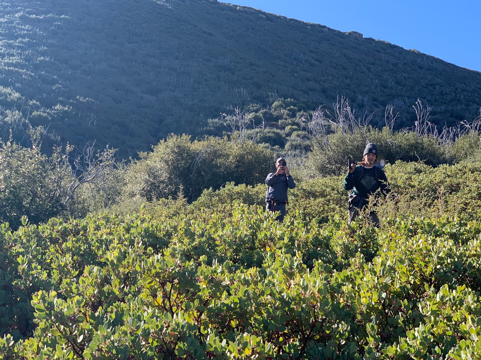
Now down to business here's how the days events played out. Joined with a new friend Reece and my good Pal Jeff we convened at 6:45am in the Parking area just north of the entrance to Thomas Aquinas College in Ojai off of Hwy 150. Additional parking turnout is found southwest of the entrance as well.
See Google Parking Map Note school grounds are private property and no parking is allowed. The trail through the East Fork and Main Fork of Santa Paula Canyon starts here on the pavement as seen in my google parking map link and the photo above.
 |
| Stay to the right here at the Hiking Trail sign |
 |
| Santa Paula Creek |
 |
| Reece in the early stretch of the canyon along 4N03 |
Begin by following the road around the southeastern edge of the school grounds and through Ferndale Ranch and the Recuerdo Properties. The road eventually terminates at three oil pump jacks. (About 1.2 miles). From here continue up the Canyon along the old 4N03 road. (Mostly along the North Bank of the creek). In the past floods have caused major destruction to this section however the trail is relatively easy to follow. Granted it is littered with various re routes and spur trails leading up the canyon. If you have been following the trail correctly at around 2.6 miles cross the creek to its southern bank and follow the trail up along the old road until finally making your way down to Big Cone Camp. (3.3 Miles).
 |
| Big Cone Campsite #1 |
 |
| Big Cone Campsite #2 |
 |
| Big Cone Site #3 |
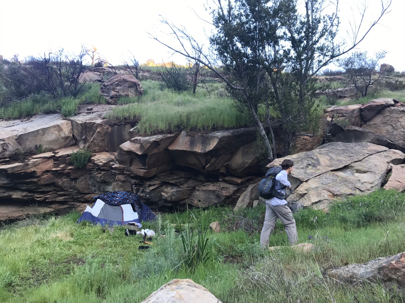
Big Cone Camp is set on a large Flat surrounded by oaks and of course it's name sake Big Cone Douglass furs. This is a pretty spot with excellent views of the lower falls. As you can see from the above photos Campers were here as we passed through. This tends to be one of busiest of the Camp locations in this canyon. I noticed three sites with fire rings and camp grills. There may have been a fourth site but I did not want to be poking around and disturb any of the residents. So after a couple quick photos we were on our way.
Myself and Reece looking up the falls and then a shot from the top looking down
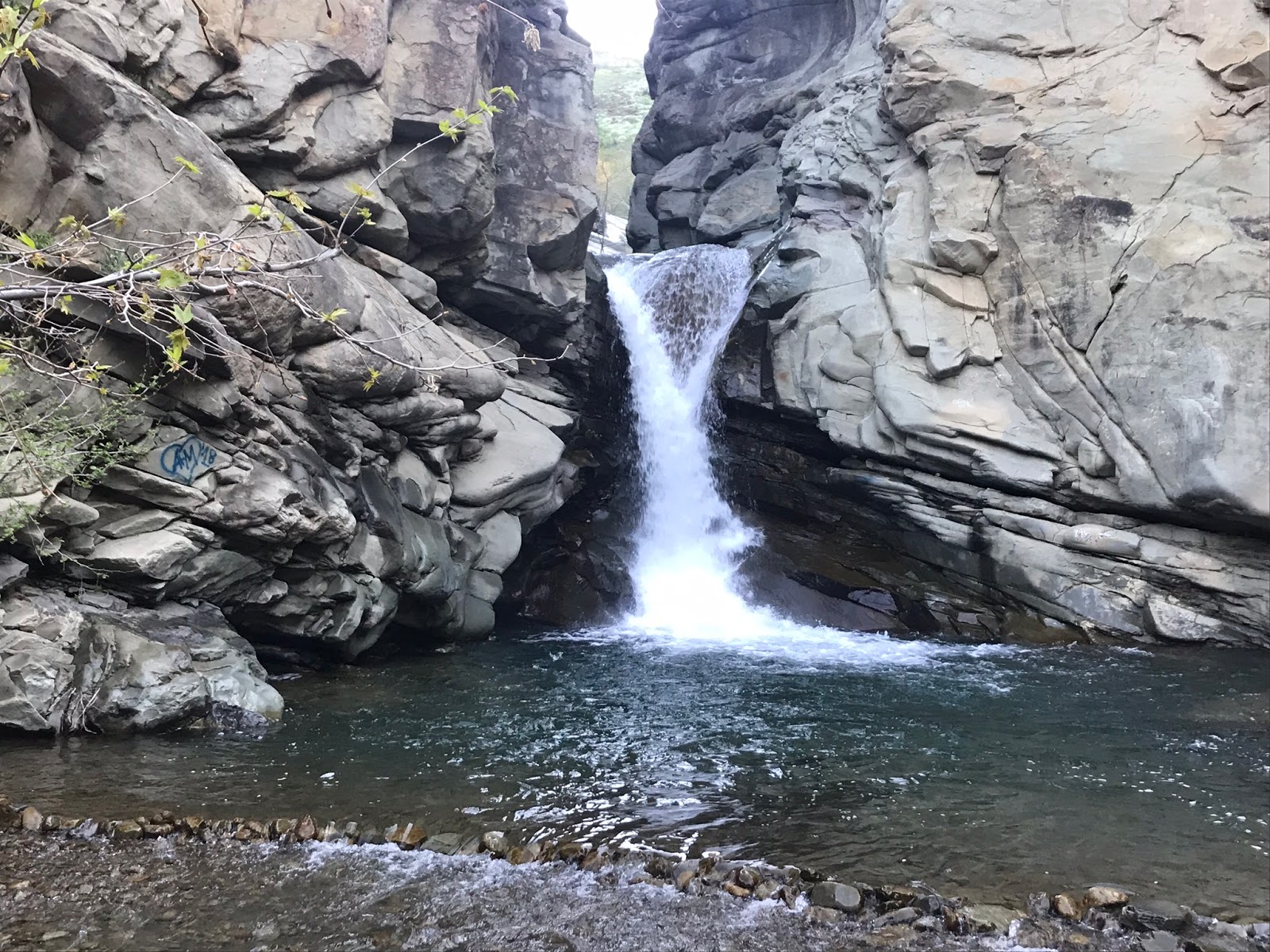
After leaving Big Cone follow the trail a short distance downhill to the East Fork Santa Paula Creek. You will need to cross the creek here to pick up the junction with Last Chance Trail to the North (our intended route) and The badly damaged East fork trail to the east. It is also here you have access to the very popular lower falls I spoke of above. Being here bright and early we had no company however on the way out swimmers and sun bathers galore.
 |
| Guerrilla site before Cross Camp |
In less than .2 miles after crossing the East Fork you come to this little Guerrilla site pictured above. Complete with large fire ring and good flat spot for tents, which could prove to be useful as an overflow from Big Cone Or Cross Camps. I must say following along this whole lower section of Last chance is absolutely gorgeousness and you quickly realize why people flock here. The views up and down this canyon are stunning and make for excellent photography.
 |
| View down Canyon toward Big Cone |
 |
| Jeff after navigating the stream crossing at Cross Camp |
At just under the 4 mile mark is Cross Camp. Another busy location due to its close proximity with the infamous Punch Bowl. The name comes from a cross that is carved into a nearby rock. (See above photo). Once again we encountered some campers here so quickly made our way through as quiet and quick as possible. Pictured below are the 3 sites with 1 and 2 being the first encountered, site 3 is accessed after crossing the Creek.
 |
| Cross Camp Site #1 |
 |
| Cross Camp Site #2 |
 |
| Cross Camp Site #3 sits atop a flat above the creek |
Some switchbacks and more climbing after cross will continue to lead you up the main fork of Santa Paula Canyon. Being that we have had such a great water year we were treated with views of numerous seasonal water falls. Also the Wild flowers were in full bloom.
 |
| Great seasonal waterfall |
 |
| Reece in the lupine Field |
 |
| Had to post this one |
Despite all the beautiful surrounding distractions I felt we were making good time so we decided we would make another quick stop at Jackson Hole Camp. The location of Jackson Hole has been a source of frustration for many hikers and Backpackers as multiple map sources have it's location completely wrong. To access this camp at about 5.4 miles in there will be a small unmarked spur trail to your east that leads you down to the camp. Spur Trail - N34.46340° W119.05770° While here I observed one really nice main site with rock benches and huge rock kitchen grill set up. I have seen reports of another site possibly across the creek however we did not spend the extra time looking for it. This was my favorite Camp of the day. Easy access to the creek, lots of shade and seclusion and I just liked the setup. I definitely plan to return and stay the night. Camp - N34.46310° W119.05656°
 |
| Spur Trail leading to Jackson Hole Camp |
 |
| Jackson Hole Camp |
Back out and on the main trail after leaving Jackson hole for a short distance the old trail completely vanishes in the thick brush however you can avoid this section by going off trail around more to the west side which completely skirts that little mess and as a bonus leads you through some great wild flower viewing.
 |
| Jeff following the old trail out of Jackson Hole Camp |
What makes Jackson Hole Camp even more special is how close it sits from lower Jackson Falls and Jackson Hole. This set of waterfalls is spectacular and way less crowded than the lower falls. In fact you are most likely to have this place all to your self.
 |
| Lower Jackson Falls |
 |
| Jackson Hole |
 |
| Looking down on Jackson Hole |
Jackson Hole is as I mentioned before about the place most people stop and for good reason. From this point on you must rely on good route findings skills to stay on the trail. The old trail from Jackson hole skirts the west side of the creek bed, however we found that section to be rather bushy in places so it was much easier to just drop into the creek and boulder hop this short stretch. After about .4 miles of this at the junction of the main fork of Santa Paula creek to your left and an unnamed drainage to your right is where you begin to climb the ridge between the two canyons. (6.5 mile mark). The next mile sucks, it's a big climb, hot, steep and exposed. You can make out the trail fairly well in some sections and in others it is non existent. If you know the exact route just do your best to follow the trail and pick the path of least resistance. Or better yet just download my track at the bottom and follow that. The saving grace here is the views of course are outstanding and the brush is only knee high.
 |
| Another seasonal waterfall past Jackson Hole |
 |
| Nice views climbing the ridge |
 |
| Another small waterfall in the distance |
At roughly 7.5 miles in and after leaving the grassy slope the uphill grade starts to become a little more gentle. Here in the higher region is where it is most important to follow the old trail. While You will get some easily navigated open patches you also have to contend with thick head high Manzanita, and the likes of all the other devilish shrub that the Los Padres dishes up. Miraculously the Trail still cuts a nice path right through, by staying diligent and paying close attention you can get through this section unscathed.
 |
| Gaining the upper Ridge |
 |
| Long gone is the Trail sign here atop the ridge |
Pictured above at the 7.75 mile mark is whats left of the old trail sign. I love these old relics and hate when I find them in this condition. Hopefully someone that reads this can comment with a picture of what that sign once said. Even better maybe we can get this replaced someday Hint Hint
LPFA .
 |
| Hines and No name Peak |
 |
| Canteen full of water along the ridge |
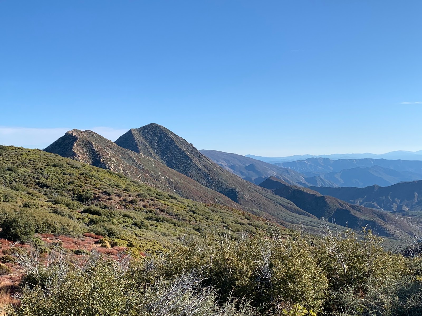
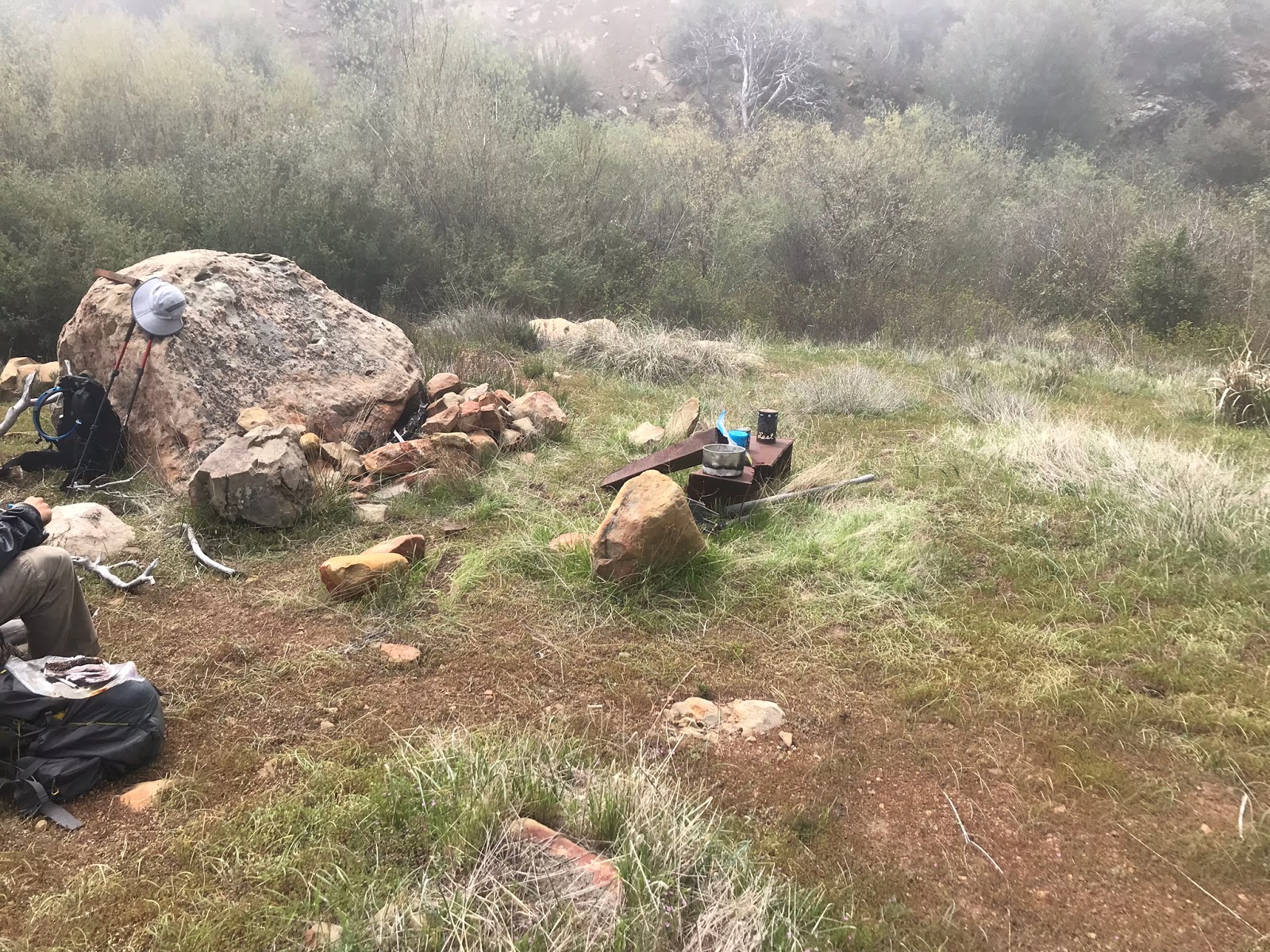
Not long after the sign you get your first good look at Hines and No name peaks. Travel from this point on is easy. The ridge is wide open. Strangely up here we found a Canteen completely full of water, not far from some really big mountain lion tracks. I'm hoping someone just dropped it and forgot it. I expected this trip to be long and difficult, what I did not expect was another damn mystery which is exactly what I got. At 9 miles in we happened upon a fire ring on a nice Flat. I thought hmm that's weird Last Chance Camp should be up ahead another .2 mile as shown on most maps. Then we noticed a few old stove parts lying around and I now fully started to consider that this might be it and the maps may have been wrong all along. Although this site had no shade it was really neat, situated between 2 drainage's both with flowing water and a small waterfall mere feet from camp.
 |
| Last Chance Camp Site #1 |
Jeff climbed above the Camp and got a nice overview photo of Site #1 also in the other shot is possible evidence that this site may at one time have had multiple rock fire rings
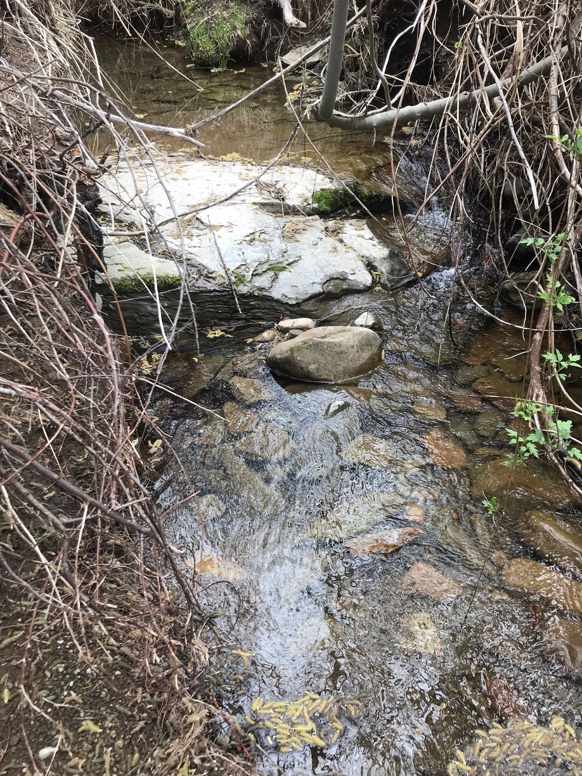
Creek and the small waterfall flowing from the east through Site #1
For good measure we decided to go that .2 mile further where we had originally planned and investigate and I will be damned if we didn't come upon another little site right where the maps and Intel indicated. This Number 2 site wasn't much, it consisted of a very small fire ring and a pile of old fire wood someone collected. The camp sits maybe 10 feet away from a seasonal flowing creek. No shade and enough room for maybe 2 tents. Upon first impression I immediately knew I liked the first site better.
 |
| Last Chance Camp Site #2 |
Pile of wood someone collected and the creek at Site #2
Finding The camp was not my only mission of the day. I also wanted to complete a current wilderness camp survey for the Forest Service, however now I was feeling unsure about which site was actually the original. In all my research I had never heard of 2 different sites at Last Chance. My instinct was immediately telling me not to trust the maps or any of the online sites. Unless somebody dragged the stove all the way over to site #1 I figured it had to be the original. But at the same time who knows I could be wrong. Anyways I pondered it all night and the next day, in fearing my write would be wrong I reached out to someone much wiser than myself and sure enough he confirmed for me that Last Chance has been associated with 2 different recognized sites and the stove parts we found at site #1 were probably indicative of the original. While he could not 100 percent be sure, that was enough for me to confirm my same suspicions. Since the trail was abandoned in the 80's current records are no longer very accurate, this once "possibly" great camp is now an afterthought. So armed with all that I decided to not pick one over the other but to declare it as Last Chance Camp Sites 1 and 2. For some reading this you may be thinking who cares but The Devil Is In The Details and I hate getting things wrong or signing my name on bad information. After we sat down for a nice lunch it was back out the way we came. About 19 miles was our days total. You could shorten this a little if you don't stop at Jackson Hole camp. The whole way in is uphill, this is a long day and a strenuous hike. We hit the trail at 6:45am and returned to the car at 6:15pm. As always I have included a map and GPS/KMZ file for download. If you use my track keep in mind the stats are only for the way in. Like a dummy I paused my GPS once arriving at Last Chance and forgot to start it up again on the way out. While the camp is not ultimately glamorous I can at least confirm it still exists and I'm stoked we found it.
* UPDATE SINCE THIS WRITING I HAVE RECENTLY RETURNED TO LAST CHANCE CAMP AND FOUND WHAT I NOW BELIEVE TO BE THE ORIGINAL FOREST SERVICE SITE PLEASE SEE THE UPDATED POST FROM 04/20/2019 HERE AT THIS LINK:
https://christopherplord.blogspot.com/2019/04/last-chance-camp-for-real-this-time.html