


Pleito Creek 21W01 Trail-Head Parking N34° 51' 06.1" W119° 04' 18.1"

I don't know about you all but I like loops and will almost always strive for one over the out and back. This one was a blast and really not all that difficult, if you can handle a little off trail action. First up was to Summit Antimony Peak. There are several parking and various mileage options for this. We choose to take off from the Pleito Creek Trail-head. (4.4 miles to the top of Antimony). If your just planning to summit you can drive approximately 2.5 miles further along West Tecuya 9N19 to the end of the road that will put you within 2 miles of reaching the peak. Up here high clearance vehicle is recommended.

Cuddy Valley. I could stare at this forever


End of the road for motor vehicle traffic. This was not always the case but as things change it is now. The turnout here at: N34° 51' 41.9" W119° 06' 10.0" provides a small fire ring with plenty of parking. Just beyond the gated fencing (open for foot traffic) the old road is now a trail and a nice one by LP standards.

Head on down just to shortly head back up.

1967 Los Padres National forest recreation map showing 21W21, Antimony Peak and Pleito Creek Campground.


Eagle Rest Peak from the Antimony Saddle.
After about an 800 foot vertical accent you'll top out at a saddle with an awesome view of Eagle Rest Peak. From here a faint use trail will lead you the last remaining 600 feet or so to the summit proper. I must say I enjoyed Antimony Peak quite a bit. Haul up some water and the flat top provides plenty of room for a summers night under stars. Behold some big views of the Pinos ridge and Frazier Mountain (yes you can make out the tower) that pop at you through the conifers. Sign the summit register, breathe in the crisp clean air and just enjoy the views. When we arrived the old register book was nowhere to be found. I happened to have a small water proof note pad on me that I left as a replacement but I wasn't gonna leave my favorite pen. If your reading this and headed that way please bring an extra pen or pencil to drop thanks.


Antimony Summit N34° 52' 37.5" W119° 06' 44.3"
Done with the peak it was now time for the off trail good stuff. From here we would drop down the northeast ridge of Antimony (1.5 miles) to valley floor connecting with the end of the Pleito Creek OHV then after working that back uphill to the Car. Hence forth completing the loop.


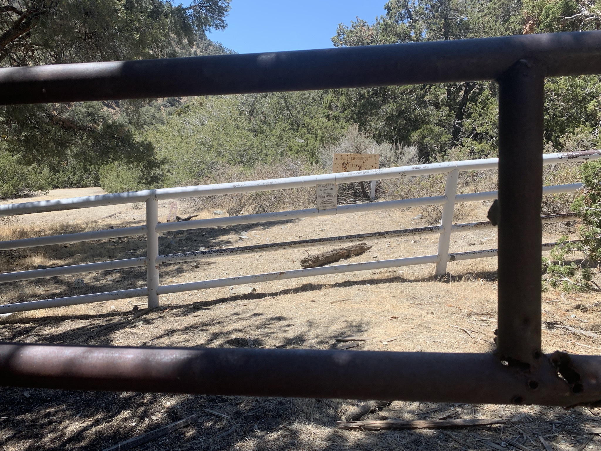
Within 500 feet of dropping off the summit is the large flat pictured above. We found fire ring remnants and plenty of cut logs. The site would be nice for an overnight group outing and I still think one could get pack stock up there. After the flat we continued to follow the ridgeline down. Our chosen path was mostly open with only a couple minor tight spots. (Got to love that about the high country). The last half mile or so does get steep so bring your poles and ski that MoFo. One thing to note you will want to drop in just to the east of the locked gate where Pleito Creek 21W01 ends or in our case begins. North west of that gate is private property in the hands of The Wind Wolves Preserve. You'll want to stay out of there. You can download and follow my track at the bottom of the post to help with that if needed. If you do follow my track I recommend staying even a bit further east within the last 200 feet to ensure you land on the proper side of the fence.

😍


Pleito Creek OHV
After satisfying a few curiosities in the vicinity and having the gate in our rear view we continued our way along the 4x4 road, easy to follow but all uphill. From the end of the OHV it's approximately 1.4 miles to Pleito Creek Campground. A lovely spot with exactly what we needed at the moment (flowing water). The spring pipe was running at about 30 seconds per liter. Lunch went down here on the provided picnic table in the shade while listing to the sound of the spring. Perfect!


From the camp was another 2.4 miles to the trail-head. The ice chest with cold beverages came in handy as the day was hot. Not so much in the morning however the afternoon got up there. Total mileage for the loop was around 9.5. If you made it this far thanks for reading.


