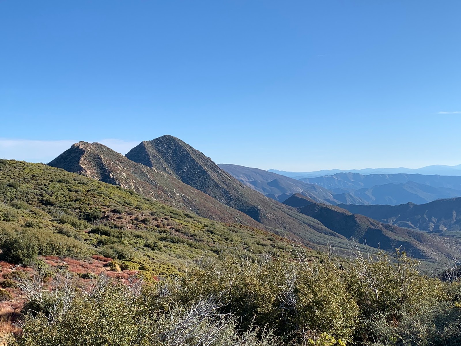
In 2012
Stillman attempted White Ledge Peak from the north via Murrieta Cyn, while he made a valiant effort he was ultimately shutdown along the Ocean View Trail. Later he returned in 2013 with his sidekick
Jack Elliott they managed to conquer the Peak, this time using a new devised route from the South. David in his own words described his earlier attempt from the North as follows "White Ledge has been a no man's land for decades, literally. Any approach using the idea of the long vanished Ocean View Trail can expect to be met with an impenetrable wall of brush". Upon reading that I thought to myself excellent, I'm gonna be attempting that sometime. Not long after David and Jack hit the Summit
Craig Carey and crew took a run at White Ledge Peak again trying from the North, as with David's attempt they were also shutdown. Now that denial didn't come in the form of nightmare brush served up from Ocean View but rather a badly twisted ankle Craig Suffered along their intended route. So once again the Northern attempt remained a dream, at least as far as the online blogging community was concerned.
Fast Forward to December, 2017 The Los Padres is hit by the Thomas Fire. Officials described this as being the largest wildfire in California's modern history. (Post 1932 Cal fire records) Burning over 281,000 acres, and with that swinging the door wide open for Backcountry travelers to once again reclaim the northern route up White Ledge. Do I wish I could have attempted this one before the Thomas fire ? Hell yes I do. I feel like no current summit will be able to live up to one done Pre- Thomas. So while I may not be able to deliver an edge of the seat, nail biting, brutal brush beating of myself breaking out onto the Summit, here's my post fire report instead. As always click on any photo to enlarge and feel free to comment at the bottom of the post.
 |
| Matilija lakeside parking |
 |
| Matilija Trailhead |
We got the day started from Matilija Trailhead around 7am as the sun was beginning to rise. The parking lake as can been seen from the photo above was full of water so we parked alongside the road just before the gate. If you are not familiar with this area one might find the trail system layout a tad confusing. Essentially you pass through the gate and follow the road through Matilija Canyon Ranch (Private Property). In about .7 of a mile on your right side is the junction with the North Fork Trail, (this junction needs a clearly defined sign). Following the North fork would lead you to Matilija, Middle Matilija, Upper Matilija and Maple Camps but we will save that for another day. Continue along the road just passed the North Fork junction to your left is the Murietta Trail 24W07 leading up Canyon to Lower Murietta Camp. While this is our intended direction of travel we are skipping the trail and sticking to the Forest Service Road 5N13 for a much faster direct route up Murietta . I normally always would prefer a trail over a road however we were looking at a 20 mile round trip day and while the trail does eventually lead you back up onto the road it needs maintenance and would have slowed us down, pretty much ensuring us hiking well into the night on our way out.
 |
| Matilija Canyon |
 |
| Looking back from the road toward the North Fork Matilija |
 |
| Making our way up 5N13 photo credit Reece |
 |
| Fall colors in Murietta Canyon |
A little over 4 miles in we reached Murietta Spring. According to the 1938 LP Recreation Map there was once a camp somewhere near here, now most likely a part of the road. Unfortunately I found zero evidence this camp ever existed. There was a large Flat close to the spring where it may have once been. Also the Map indicates it could have even been further up closer to the Divide. Although we struck out on Murietta Springs Camp we did find large clusters of Ladybugs which have taken up residence in the trees surrounding the spring and a bonus Jeff finally got his white whale. (See photo below)
 |
| Murietta Spring Ladybugs |
Oh and look Jeff Finally Got that Lion's Mane Mushroom he's been searching for
At the 5 mile mark you reach the Murietta Divide. Here 5N13, 6N03 and the Monte Arido Trail junction together. This is great news as we can now leave the road behind and get to some real trail. No sign marks the trail but if you poke around a bit you will be able to make out the start. Hang a hard left due South and begin the climb. Monte Arido is not long distance wise maybe .8 a mile but it's a steep uphill slog, gaining over 1100 feet elevation. The trail is for the most part pretty easy to follow and if in doubt just keep going straight up till you reach the ridge top. Along the way you get some great views of Jameson Lake to the West.
 |
| Monte Arido Junction |
 |
| Looking down on 5N13 from Monte Arido |
 |
| Jameson Lake in the distance |
 |
| Jeff and Reece in route along Monte Arido |
 |
| Top of Monte Arido Trail looking back down Murietta |
Once atop the ridge Monte Arido joins what is very close to the end of Divide Peak OHV Trail. (Technically all part of 24W08 before this section was designated OHV). Thus far since leaving Matilija around 3000 feet of elevation has been gained in 6 miles. If you're reading this and all you ever do is just come this far it so worth it. The wide open half mile from here to the now start of Ocean View 24W08 is breathtaking. Rock formations dot the landscape and the views of the Pacific Ocean are hard to beat.
 |
| Looking toward Divide Peak |
 |
| Look at those views of the Pacific |
Right about this time we were feeling great. Putting down the miles and making good time. The views had already been far better than we had expected, spirits were high, the peak was now within reach. We continued south along the OHV until the junction with Ocean View. Again there is no sign marking this junction and you can easily pass the faint signs of the trail if your not paying attention. Luckily you won't get far though as the OVH trail ends in less than .3 miles from the Ocean View turn off.
 |
| Looking down toward the junction with the OHV and Ocean View Trail |
Since the Fire the brush is really starting to come back thick up here. Without further maintenance to Ocean View the window will soon most likely be closing again. When we got our first good look at White Ledge it was one of those oh shit moments. The peak just looked so far away and the terrain intimidating. There was definitely some second guessing as to if we were gonna make it all the way and back out in a day. Check out the photo below of the first good look at the peak.
 |
| Our first look at White Ledge Far (right corner) and the ridge we would need to traverse. |
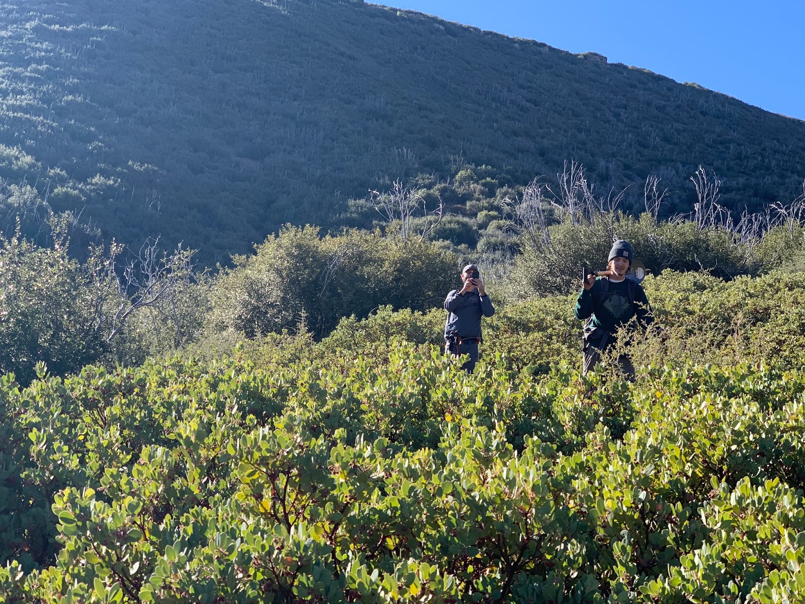
Ocean View Trail kinda lures you along, it will be good in some spots and quickly go to shit in others. Just when you think progress is about to be halted you break through the brush and there is that nice tread again. I honestly expected far worse. Not saying that this hike was at all easy but if your experienced with following faint trails you can get through this section relatively quickly and without to much discomfort. The key here is knowing exactly where that old trail is and what side of the ridge you should be on at all times. If you don't stick to the old trail proper you're in for a world of hurt. I say if you've been considering it go now while the gettin's still good.
 |
| Some crawling required |
 |
| Lake Casitas in the distance |
White Ledge Peak was not the sole order of business on this day. For me finding evidence of White Ledge Peak Camp was just as important as reaching the Summit. Last I've seen of this camp appearing on Los Padres Recreation maps was in 1938. According to the Map the Camp should have been right about where you would eventually leave Ocean View for the last half mile climb to the summit.
1938 Los Padres Recreation Map White Ledge Peak Camp Labeled O-65 also pictured Murietta Spring Camp O-4 and Lower Murietta O-5
 |
| First Ice can stove we came upon |
Just like with many previous trips into the LP I was left with another mystery to ponder. Almost a mile short of where the Camp should have been we found the first Ice Can Stove. (Pictured above) Stove #1 coordinates: N34° 28' 48.1" W119° 24' 35.4". This was strange I thought as it seemed to far from the location appearing on the 38 map. Too add to that I had spoken to Conant recently before the trip and he also confirmed that sometime in the past he stumbled upon the camp and his waypoint was consistent with the location on the map pictured above. A half mile further up the trail we ran into our second Ice Can Stove. This one being harder to spot than the first. Like the previous this second one was still short of where the original Camp should have been and it was in a rather odd location completely engulfed in Brush. Second Stove coordinates: N34° 28' 38.0" W119° 24' 10.5".
 |
| Second Ice can stove |
Continuing on we pushed the last .4 of a mile to the Peak turn off and I'll be damned if there wasn't a third Ice can stove right where it should have been. Precisely as shown on the 38 Map. This stove was by far in the worst condition of the bunch. I do believe the third one sits in the original Forest Service Camp location but why the other two spread so far apart along the trail ? Maybe in the past the stoves were moved from the original site ? Or perhaps there were secondary sites placed later by the Forest Service. Highly unlikely but maybe the ones from Murietta Spring were drug up the ridge and placed along Ocean View. If someone reading this can elaborate further please feel free to share. White Ledge Peak Camp coordinates: N34° 28' 33.7" W119° 23' 47.0"
 |
| Third Ice Can stove and what I believe to be the original site of White ledge Peak Camp. |
 |
| Last push from the Camp to White Ledge Peak |
From the Camp to the Peak Is about a half mile. You climb up and over a few rises before the last steep push to the rocky Summit top. A slip within this last 100 feet would be really bad so mind your footing. The wind was howling this afternoon, it almost felt as if I let go of the rocks I would've blown right off the peak. There's a summit register here placed by David and Jack in 2013 and an old wooden cross that has been up there for god only knows how long and of course absolutely incredible views.
 |
| More views of Casitas from WLP |
 |
| Not very many signatures in that book since 2013. Site gets very little traffic |
 |
| More incredible views from the Summit |
 |
| White Ledge Peak |
If I recollect it was 1:30pm when we reached the Peak. We travelled 10 miles in just over 6 hours. Not at all our fastest time but we made numerous stops along the way to check out things of interest. I remember thinking at this point good thing I brought my headlight because I'm definitely gonna be needing it. Cell service was good on the peak I shot
Craig a text with the photo above and the words I'm sitting on White Ledge. No time to wait for any response I switched the phone into airplane mode and we were off. Another 10 miles later and somewhere between 5:30 and 5:45Pm we arrived back at the car. The exit was indeed much faster as was to be expected (we were mostly travelling downhill the whole way back). It's been a stressful work month and I've had far to much going on lately, so it was really great to get out on this one back in the thick of it with good buddy's. Definitely another fine day Lost In The Los Padres.