Showing posts with label Lilly meadows Camp. Show all posts

Monday, May 4, 2020

South Lily Meadows

South Lily Meadows (Unofficial Name)
I'm usually looking for something and today was no exception. Perhaps an arrowhead or even just a single Lily flower to justify my naming of the Meadows to Craig. Approximately 1.2 miles Southwest as the crow flies off trail from Lily Meadows Camp is a fantastic little series of interconnected meadows on the southern fringes of the Chumash Wilderness that have been calling to me for  long enough.  A loop trip of the meadows and I could kill two birds with one stone as Mark Subbotin has been patiently awaiting my promised Camp Survey of Lily Meadows. 

Park here along side the road for the North Fork Trail.
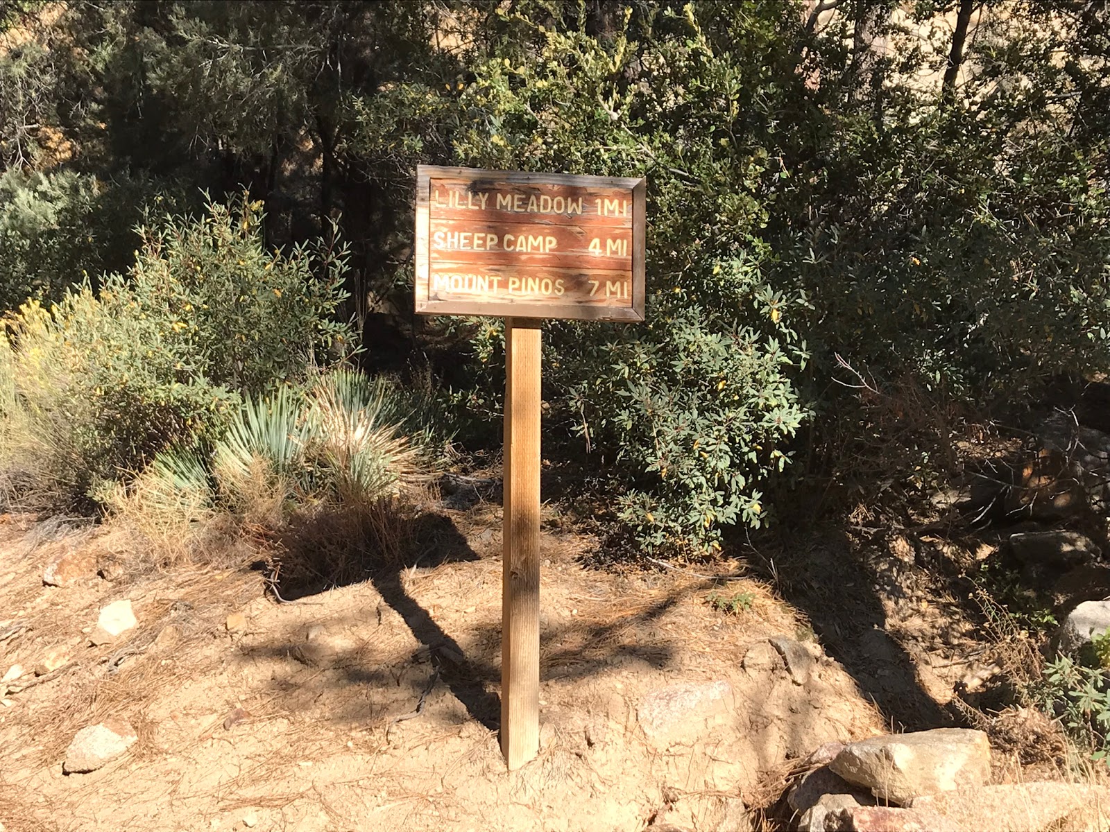
Nice newer signage courtesy some really great BSA Volunteers.

Our day began at the North Fork Lockwood (22W02) Trail-head just outside the gates of BSA Camp Three Falls. It's about a 1/4 mile walk along the paved road through private property before reaching the dirt service road which begins the trail proper. I'll be sparse with detail here getting up to Lily Meadows Camp as I have written about the route in an earlier post which you can read here if interested. (North Fork Lockwood to Lily Meadows). Posted under the Trail-Head sign was a clear notice asking people to please not tamper with the diversion dam constructed at North falls. I guess water is being rerouted to the boy scout pond for fire suppression. We stopped in to have a look.


 North Fork Falls

 Diversion Dam at the falls. Water flows through the steel grate on the left into pipes downward to the BSA pond. Lift the gate to the right and it flows somewhat naturally again. 


After leaving the falls the trail begins a more aggressive climb into the Wilderness. Around the 3.7 mile mark we found ourselves once again back at Lily Meadows Camp. A picturesque setting Lily is situated on a an expansive flat surrounded by tall pines. The main camping area has a nice picnic table and plenty of bench seating around the fire ring. Aside from the hotter months water is normally reliable from the creek just south the camp. Here's a fun description From Craig Carey's Book Hiking & Backpacking Santa Barbara & Ventura.  "Though the various breeds of wild onion in the area were once included in the lily family, one cannot help but surmise the outdoorsman who gave Lily Meadows it's current name mistook the plentiful irises growing in the summer meadows for lilies (various signs in the Los Padres spell it both "Lilly" and "Lily").

Lily Meadows Camp

After gathering all the beta required to complete the camp survey it was time to leave the North Fork Trail behind. Just past Lily we took a sharp left off trail and headed South climbing a ravine to the top of one of the two high ridges separating us from our much anticipated Meadows. 

Looking North down toward Lily Meadows Camp, Grouse and Sawmill mountains in the distance.
A Look South at our direct route over the next ridge just beyond the badlands.
After taking in stellar views atop the first ridge we poked around a large rock formation before gathering our bearings and deciding our next move. Originally I had planned to maybe drop in from here and follow the ravine down and around to the southeast where it would eventually connect with the gully running through the meadows. However that would have entailed a bit of backtracking so instead we opted to plow straight ahead up and over the second ridge. In the end I am glad we did as we were able to capture some great shots down into the badlands.


Cross country travel through the Chumash Wilderness is nothing like in the lower and much more painful chaparral elevations. Here up high everything is more open and Navigable. The smells of pine and juniper are an assault on the senses, I find a peaceful serenity here hard to replicate anywhere else. Most the little gully's still had water and signs of wildlife were everywhere. Large deer and bear tracks at every turn and even little nesting birds were encountered down in the meadow. 
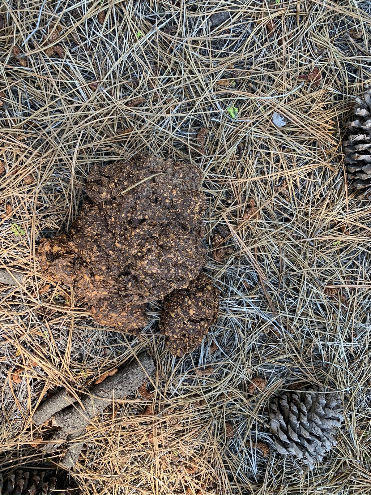
Large pile of bear scat. 
Pictured below is the hole a bird came flying out of. Further inspection showed the eggs inside. After that encounter we made sure to tread lightly. 

Old posts found near the meadow with strange markings possibly from former mining claims?
Right under the 6 mile mark we descended upon the meadow a brief search produced no official name that I could find. I consulted with a bearded mad man of the LP and he knew of no name either. Great I said then I shall name it South Lily Meadows because it's a set of meadows south the camp (so creative right ? Not really). To which he replied "why don't you just let me know if you find any lilies first. Well sir I am here to report I found not one single lily nor any arrowheads. Lot's of sage brush though ;) What we did get was a breathtaking meadow in the middle of nowhere to enjoy all to ourselves. You really had to be there to appreciate all the beauty of the place. 

South Lily Meadows


Done with the meadow (not literally someday I'll be back) we started to make our way down canyon. As we dropped lower in elevation the brush got thicker, nothing of any real concern just some waist high sage brush and the occasional dead-fall. I guess one might consider it light bushwhacking. I found it quite pleasurable. What had all the hallmarks of being a perfect day went out the window when we got here N34° 45' 43.6" W119° 09' 33.9" A couple miles downstream from the meadow is an older abandoned pot farm. Black tubing and other trash are strewn about everywhere. Pesticides and other chemicals left behind by these people are dangerous and detrimental to the environment. The wildlife are suffering as we found a very large dead rat stuck in one of the 5 gallon buckets. It's been reported and I have offered my services to return and help clean it up. Now we wait, hopefully the approval comes. 

 Pot Farm
Wildlife casualties 

From the pot farm it's really only about a mile downstream before connecting back with North Fork Trail. This last lower section has some very interesting geology. Sub-aqueous delta fans (I only know this term because I read Craig's book, sorry I ain't that sophisticated) protrude from the canyon walls like Volcanic rock. Down climbing this last narrow chute section in the creek bed can be sketchy when water is flowing over slick moss. We debated it but decided to climb up and around on the north side instead. 

Sub-aqueous delta fans 
Jeff debating a down climb


Alternate way down from the north
Out of the Canyon and back on trail it was a short jaunt back to the car. Our total mileage was somewhere between 10-11. I cant say exactly as I edited out some worthless wanderings from the GPS Track which is available for download below under the map. Last week out in the San Rafael the ticks were relentless. Not today, these higher elevations see far less of those evil little bastards. I think I counted 3 compared to at least a hundred last week. While the crowds continue to flock to Rose Valley and Piedra Blanca I'll stick to these little lessor know slices of heaven for now. 


Friday, October 5, 2018

North Fork Lockwood to Lilly Meadows

North Fork Trailhead Sign

On my Quest to venture into new places In the Los Padres I decided to go check out Lilly Meadows Trail Camp In the Chumash Wilderness. My last outing in the Chumash from Mt Pinos put me in the general vicinity however I didn't quite make it down south enough to hit Lilly. This time I would take a much shorter Route starting from the opposite Direction. 

Turn onto Boy Scout Camp Rd

The easiest and shortest way to reach Lilly meadows as an out and back is to start at BSA Camp Three Falls. Located at 12260 Boy Scout Camp Rd, Frazier Park Ca 93225. Form Santa Clarita take the 5 freeway North and exit Frazier mountain Rd. Turn left under the bridge and continue straight until reaching Lockwood Valley road. Turn left onto Lockwood and continue on until Boy Scout camp road. Make a right on Boy Scout and drive about 3 miles until the road ends. 

Park Here do not drive through the gate

Unless your an active Scout you will need to park outside of the black gate pictured above. Once parked continue on foot through the gate and onto the paved road. You will walk about a quarter mile through the camp to reach the dirt service Road. Keep in mind this is private property. The scout camp was impressive I noticed it was complete with Rock climbing wall, Indian style tepees and all sorts of other interesting things. If I had a son he would definitely be attending here. 

Walking through the boyscout camp

About a quarter mile in just past the boyscout parking area the pavement ends and you come to a forest service road(8N31) with chain across. This is your route continue straight onto the dirt road pictured below.

Start of forest service road(8N31)

Follow the road along Lockwood Creek (which was dry on this trip in most places as to be expected this time of year). Through the Pinon and Juniper dotted landscape. You will execute multiple creek crossings again all dry this time and you will get some great views of the surrounding peaks and Rock Formations. Keep an eye to your west or left for the Volcanic looking Rock mountains in the Distance.

Interesting Rock Formations to your east

Volcanic Looking Rock Formations(subaqueous fan delta deposits)

At 2.5 miles in you will come to a junction (pictured below) If you continue straight on the fire road for about another 600 feet the road ends at North Fork Falls. 

Lilly Meadow Junction

It is worth the short walk to go visit the falls. Although there was only a trickle coming out I'm glad I got too see it. I'm sure during the spring it is a formidable sight . North Fork Falls is the biggest of 3 waterfalls in the area which give the Scout's Camp its name. 

North Fork Falls

Just A trickle of water coming down the falls this morning

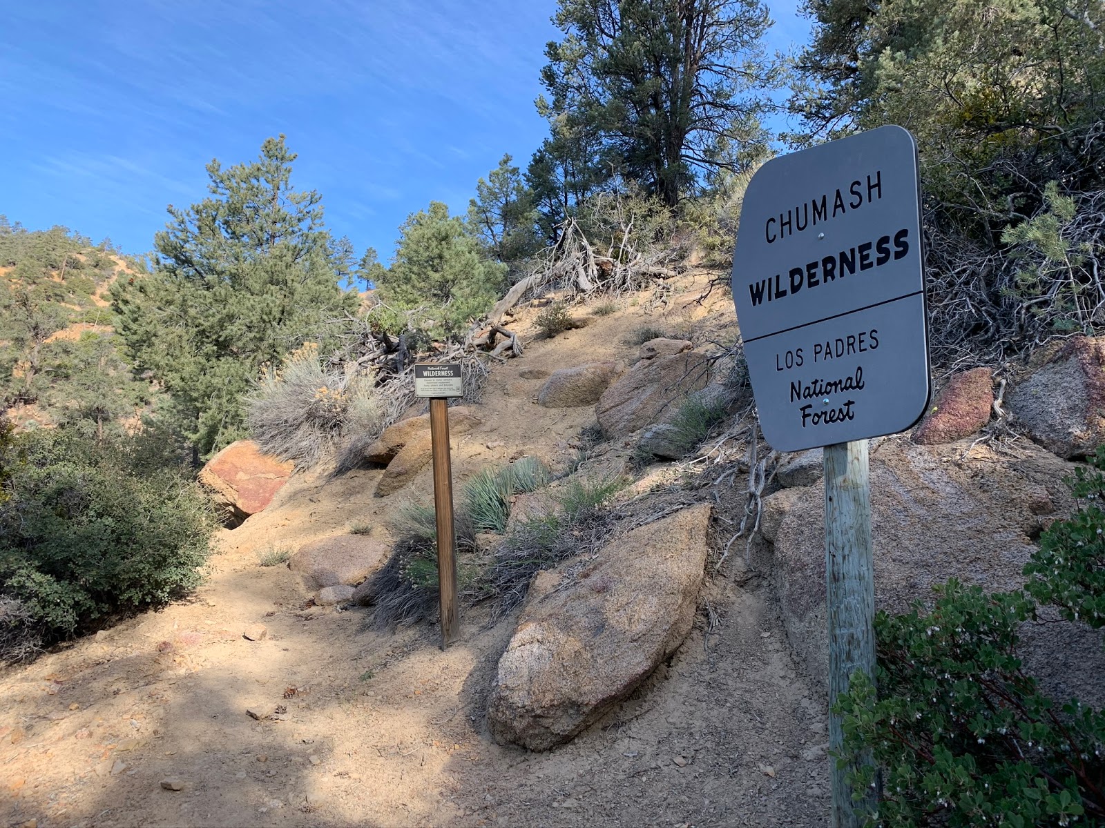
After visiting the falls head back to the Lilly Junction make a hard left onto a narrow single track and continue on for approximately one mile. The North Fork trail is well maintained throughout all the way to Lilly meadows Camp and beyond. Here shortly after the junction you will be entering into the Chumash Wilderness. 

Enter the Chumash Wilderness

This last mile is the hardest part as it's a continually uphill grade for most of the way. The beginning quarter mile being the steepest until above the falls. Notice in the upper reaches the landscape begins to change from the scrub and Pinons to Live oaks and Jeffrey Pines. The air up here is crisp with a fresh pine scent, very nice and refreshing. This spot above the falls also provides a great photo opportunity down into Lockwood Valley.

View south into Lockwood Valley Hines Peak in the distance

Continuing on you will reach Lilly meadows Trail Camp(6,632') at about the 3.7 mile mark. The Camp  is situated in a wide open meadow, complete with fire ring and picnic table.


Lilly Meadows Trail Camp

Water was dry around the camp but you can find some back along the trail not too far away if needed. The upper reaches of Lockwood Creek did have some accessible water in certain places. Lilly would make for a nice easy overnight stay, the only downside right now being the strict fire restrictions happening throughout the the Los Padres. You could also continue on up the trail to Sheep Camp and beyond to Mt Pinos if you were feeling adventurous. When In the Chumash Wilderness be alert to your surroundings as you never know what you'll encounter along the trail. I found a nice surprise this morning Pictured below.

 Chumash Rock Art

 More Paintings

 Erosion is taking its toll


If you don't already know what your seeing pictured above is Chumash Indian Rock Art (Pictographs) These Rare sights can be found in multiple places in the Los Padres National forest if you know where to look. Without putting a mark on the map and or giving out the exact coordinates I will go as far as to say you can find a small collection of these on a certain Rock Formation South of Lilly Camp. The GPS track and map below have been scrubbed of its exact location to preserve the site integrity. In the past vandals have destroyed many of these sacred sites. If you find them please treat them with respect and remember never to touch or disturb the fragile paintings. Many of these are hundreds if not thousands of years old. If you would like to read more about these I advise you to pick up a copy of Rock Paintings of the Chumash by Campbell Grant, it is a very interesting and fascinating book about the history of the Chumash and the ever so sacred Rock Paintings.

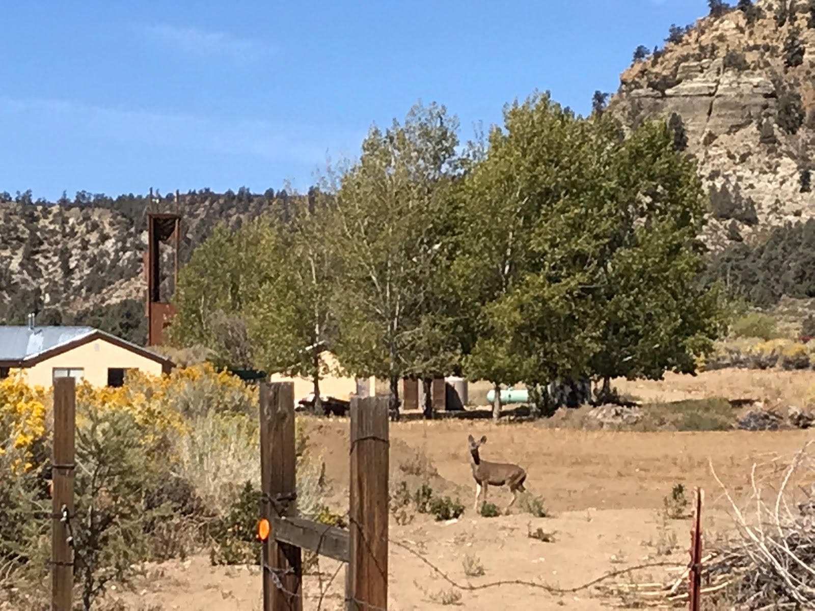
Deer Hanging at the Boy scout Camp


Once your done at Lilly if your not continuing further on just return the same way you came in. On my way back into the Boy Scout Camp I came upon a few Deer. My total mileage for the days adventure was 7.3 As usual it was another fun and rewarding trip Lost In The Los Padres.


Download GPS Track (GPS Units)
Download KMZ File (Google Earth)