 |
| MT Pinos Summit |
Summer temps in Santa Clarita are often soaring into the 100's. That's a big no bueno for hikers. The solution go up in elevation. Today I finally checked off a few peaks that I've been wanting to visit and the bonus was I didn't have to drive that far to do it. I started my day at the
Cuddy Valley Parking area next to the walk in
Chula Vista Campground. Located just below the big bad Mount Pinos 8,848'.(Highest Point in Ventura County). Getting here from the SCV is simple. Take the 5 freeway north and exit Frazier Mountain Rd. Go west follow Frazier Mtn Rd to Cuddy Valley Rd for about 20 miles meandering through a beautiful forest of Jeffrey Pines and Arrive in the Parking area next to the Mt Pinos Nordic base.
 |
| MT Pinos Parking area |
On the way in you will pass a few Campgrounds Starting with
Mcgill Campground which is tucked away in a beautiful pine forest setting. This place has 73 sites and can accomodate tents and small RV's. Mcgill is most known for its use of Stargazing.
 |
| Mcgill Campground |
After passing Mcgill the next Campground you come across is
Mount Pinos Campground. With only 19 sites its much smaller than Mcgill, 79% percent of spaces are now available by the reservation system. This is a great home base for hikers and mountain bikers venturing into the surrounding areas. One thing to keep in mind is no water is available at any of these campgrounds.
 |
| MT Pinos Campground |
Just a few miles further and you arrive At the Chula Vista Campground/Mt Pinos parking area that I explained above. Chula Vista is a Walk in Campground. So basically you park your car in the main parking area and lug your gear approximately 0.2 miles into the Campground. (It's not far at all) Something you could load up on wheels and pull into camp would probably be the hot ticket. Just can't be motorized. The Campground is really cute and nice with Many sites. The only thing I was not impressed with was the bathrooms, they need some work.
 |
| Trail Leading to Chula Vista Camp |
 |
| Chula Vista Campsite |
On the West side of the Parking area is the Mount Pinos Trail(9n24). At one time folks with High Clearance vehicles could drive this trail all the way to the Summit of Mount Pinos. However now due to conservation efforts and whatever other reasons the forest service has the gate is always locked.
 |
| Mt Pinos Trailhead |
A very short distance after passing through the gate you will come to a junction, go left here and continue uphill for about 1 mile until reaching another junction.
At this next junction veer left to stay on the path to Mt pinos or go right on a quick detour that will take you in about 0.2 miles to a really nice scenic vista point. Here I was able to get a good photo looking down onto Pine Mountain Club.
 |
| Shot looking down onto Pine Mountain Club |
After the photo shoot head back the way you came to that junction and go right. From here it's less than a mile to arrive at the summit of Mount Pinos. For the highest point in Ventura County the summit is a bit lackluster. There sits on it a radio tower which sticks out like a sore thumb. The history of it though does make up for its lack of appearance. This was sacred grounds to the Chumash Indians. "Iwihinmu in Chumashan language was considered by the chumash people to be the center of the world or Liyikshup. The point where everything is in balance. The Summit is centered in the traditional lands of the Chumash." This peak is also Part of the Sierra Clubs hundred peak section or "HPS" as its known. So if your trying to complete all of them this is one you will eventually need to check off the list. There is a summit register on the ground behind the Summit sign and also a geological benchmark to check out should you desire.
 |
| Summit selfie |
 |
| Summit Register |
 |
| Benchmark |
 |
| First view of the radio tower approaching the summit |
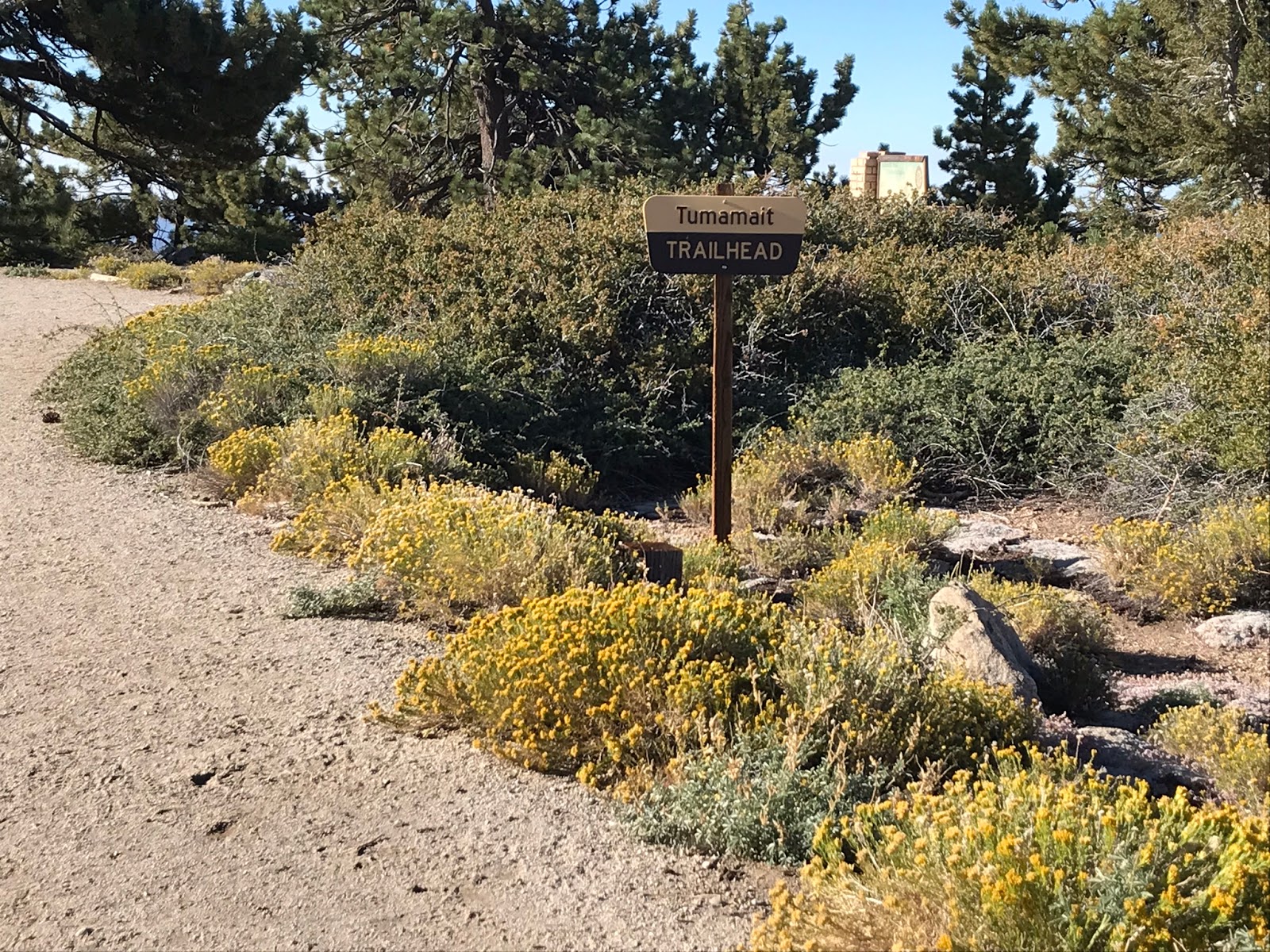
Shortly after leaving Mt Pinos continue on along the main trail downhill a bit to the Condor observation and Wildlife viewing site. Here there are incredible views of the surrounding area and for those lucky enough maybe you will get a look at the ever so elusive California Condor. Today I wasn't so lucky to capture a look at the Condors, however when I arrived there was about 6-7 deer just chilling about 30 yards away. So that was cool. Also this Spot marks the start of the Vincent Tumamait Trail(21w03) and the Beginning of the Chumash Wilderness. Vincent Tumamait was a Chumash elder. The trail was named after him shortly after his death.
 |
| Tumamait Trailhead sign |
 |
| Condor observation area |
 |
| Vincent Tumamait memorial sign |
 |
| Views for days |
The Chumash Wilderness is breaktaking. You wouldn't in a million years believe that this place is only about and hour and 15 minutes away from the SCV. It feels like I was teleported to The Sequoia National forest or Mammoth High Country. The forest was especially alive this morning with Blue Jays, Grey Squirrels, Chipmunks all fluttering about their business not seeming to mind the presence of me and Lacy around. 38,150 Acres of this Wilderness was established in 1992 by the Los Padres Condor Range and River protection act. The high sections are mainly thick Conifer forests of pine. While the lower section is mostly chaparral and badlands. This wilderness was a integral part of the everyday lives of the Chumash Indians. I can clearly see why they made this place home.


My agenda for the day was to hit 3 different summits (and I managed to bag them all). Stoked about that I am. Next you will make a good accent down from Pinos with some switchbacks to a saddle. From here it's uphill until the spur trail to Sawmill Mtn. The spurt trail is less than 2 miles from the Condor Observation area. I actually passed it on the way in. I was totally lost in thought and walked right by it. I didn't realize it until I was halfway to Grouse Mtn. So I decided to hit Sawmill on the way back out instead. When I did, I approached it from the opposite direction and did not come up the main spur trail. Which I don't recommend unless you have a gps and or are comfortable being off trail. Sawmill sits at about 8,819' elevation. The summit has a really nice high decorative Rock Cairn on it. It was not my favorite peak, maybe because by the time I arrived it was crowded with people. That's what happens on a sunny summer afternoon with well know peaks. I'm really not one for crowds, especially in the backcountry. Also mid afternoon has no shade up on this peak. Needless to say I didn't stay too long.
 |
| Sawmill Mountain Summit. |
Rewinding the clock back as I mentioned earlier before hitting Sawmill I Summited Grouse. This was my favorite peak of the day. On my way to Grouse I passed NorthFork of Lockwood trail(22w02) which takes you South into Sheep Camp and down to Lilly Meadows.
 |
| North Fork Trail Junction |
As I said Grouse was the Highlight for me. It was quiet and shady and engulfed in pine forest. It really just had a great vibe about it. I kicked back here for a few minutes admiring the views while munching a protein bar. With a little added off trail exploration to see what else I could find. Grouse was complete with Summit Register as this is another HPS Peak.
 |
| Grouse Summit Register |
 |
| View from the Summit of Grouse. |
 |
| Bye for now |
My total Mileage for the day was 10.6 a pretty good push if I do say so. Especially after just getting back into action from my broken Fibula. Forgive me if I was a little vague on exact mileages and turn by turns. I will include a map at the bottom of this post with way points and my exact GPS track and google earth KMZ file for you to download incase you want to follow my route. All in all I was thoroughly impressed with my first visit to the Chumash Wilderness. The temperature at noon when I left was 75* perfect weather for a Summer Hike. If you haven't done so already get out there and give this one a go.


No comments:
Post a Comment