|
| 19W10 to 18W03 |
Legends of forgotten camps and abandoned trails in the far eastern corner of the Sespe Wilderness have been a topic of discussion for ages. Add to this years of Cartographic nightmares and a lack of any real online beta of what exists and what doesn't and ones left scratching their head. My interest in this matter really piqued after finding a VC Canyoneering post from 2010 titled
"The Most Remote Campsite in the Southern Los Padres." From Bryan's list in the comments section Halfway Spring would hold the top spot with Borracho in 4th. Even Cove got a mention at number 9, though I reckon the Agua Blanca was in rougher shape back then. All three of these camps just so happen to be obtainable by loop trip linking Agua Blanca 19W10 and Cobblestone 18W03 (what's left of them) if one has the grit and determination to see it through. Craig Carey's
Diamonds in the Rough: Roll Call followed by
Series 18 West would only further throw fuel to the fire. Let's not forget
Saddle Skirt,
Ellis Apiary and Cobblestone Spring Camps, rarely do those ever get a visit. Any evidence left of Tin Can Cabin? What if any remains of Halfway & Borracho? Are you seeing a pattern here? The observer is often left with more questions than answers.
 |
| Old Stove Kim Found on the ridge above Halfway Spring December 2010 (N34.58007° W118.81252°) |
Naturally I began to dig for information. I contacted maybe better term pestered all the who's who of the Los Padres that I knew. What I wanted more than anything was a single old photo of Halfway or Borracho. Hell I would have been happy with even a description from someone who had actually seen them. Remember the Forest Service abandoned 18W03 in the 60's and it was said to be rough then, just imagine now. Gagnon wrote of slated Camp removals in the 70's. Would I fight my way through all that brush only to find the camps had in fact been removed or destroyed in the Day Fire? I was able to obtain bits of info but nothing to confirm their existence. Most leads were dead ends or recommendations to get in touch with Kim Coakley (SVS crew) a legendary man of the mountain, he may know. Mark Subbotin was gracious enough to put me in contact with Kim after a series of emails we finally had a nice long phone conversation about our adventures in the forest. Kim had in fact traveled through the area in question but it had been over a decade. He shared some great photos of Cobblestone Spring Camp and water flowing from the Spring at Halfway but admitted never finding the camp, in fact a stove he found high on the ridge gave him the impression it may have been taken from Halfway Spring at one point or another. No pictures and a faint memory of what if any was ever at Borracho. I thanked Kim for taking the time to speak with me and we stayed in touch often by email vowing to get together for a walk the next time he was in town.

Carol Day with Kim and crew at Borracho July 2004
Fast forward to the November 2019 Agua Blanca Trail maintenance with Alan Coles and crew where I was able to make the acquaintance of Carol Day. Carol's no stranger when it comes to the more remote sections of the LP. We share a passion for the history of the Forest and she promised to send me whatever photos she could dig out from her earlier adventures (Many with Kim). Attached in her email along with other wonderful images was a couple shots from 2004, she's standing at Borracho next to an Ice Can Stove. I was stoked, finally photo evidence. Best of all the man in the picture above with his back turned is Kim Coakley. 15 years had passed, memories were hazy. A conversation ensued "Hey Kim check out these pics of Borracho." "Chris that's me in the photo what year was that taken?" "2004 Carol found them." "Wow I had completely forgotten about those stoves. I need to go back and see them again" I'm ready when you are Kim."
 |
| Dough Flat Trailhead |
 |
| Good water flowing from Squaw Spring right now |
 |
| Blooming Yucca |
Friday morning
Reece and I met up at the Dough Flat Trailhead to make the 5.5 mile hike into Ant Camp via Alder Creek 20W11 & Bucksnort 19W18 where Kim and Paul would be awaiting our arrival. Coming from Nevada Kim decided to arrive Thursday to get a jump-start on what would be for us a very long day one push up the Agua Blanca toward Borracho.
 |
| View of Cobblestone Mountain while descending the Bucksnort Trail |
Meet time was to be 9am at the old trail sign just past the spur trail leading into Ant. I really pride myself on never being late so we pushed hard that last mile arriving at 8:57 on the dot. After a long anticipated meeting and exchanged pleasantries we swiftly made our way along 19W10 toward Saddle Skirt. I'll note swift is not the term most would use to describe their walk along the mile and half section between these camps. We've done it before and are familiar with the route. Expect to encounter thick brush and a healthy amount of Poison Oak. The trail up here see's very little use and zero maintenance. Without future plans to rebuild I don't see it getting better anytime soon. See my previous post
here for more detail.
 |
| Long time trail buddies Paul M and KC |
 |
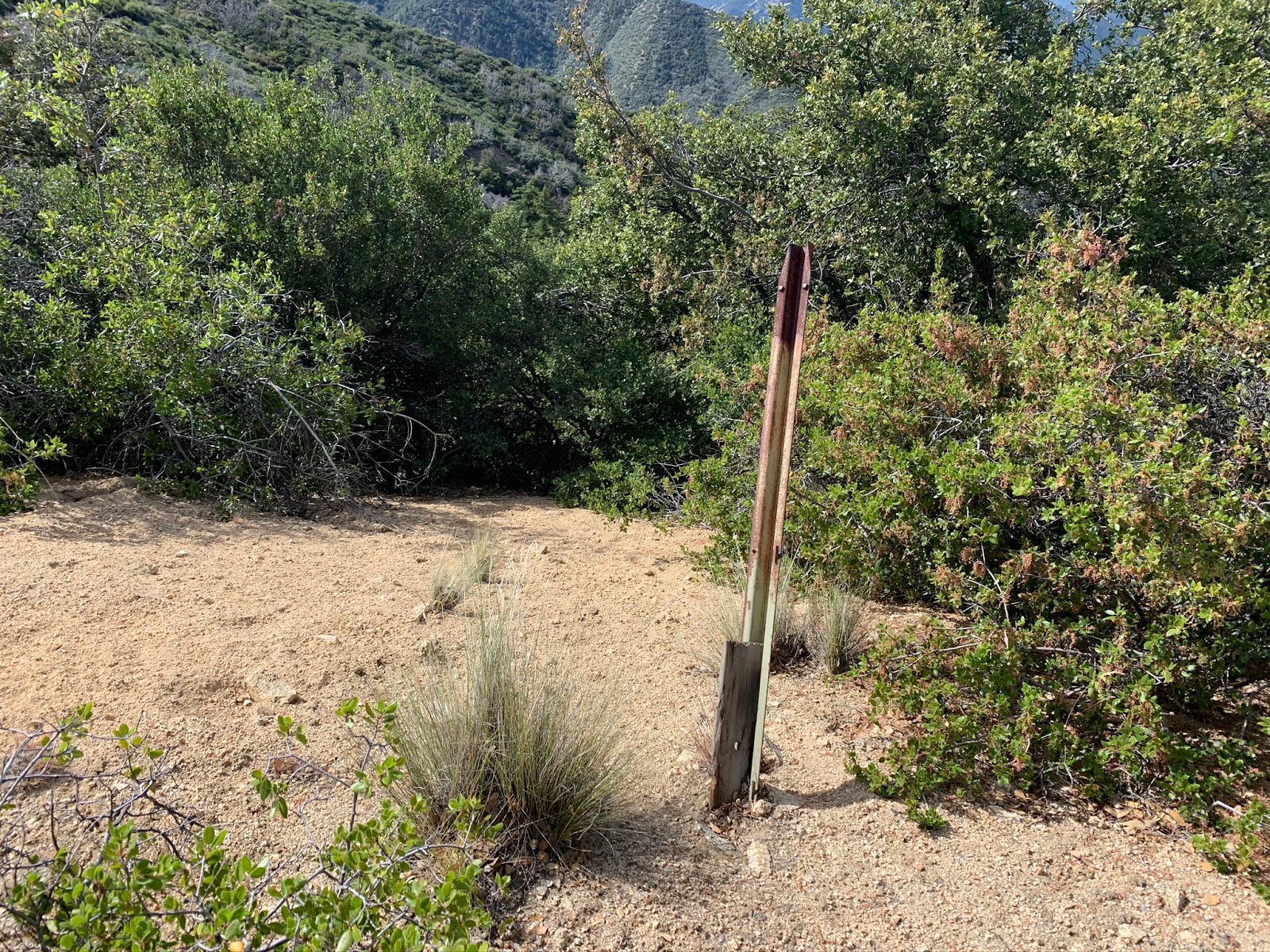
| Old Trail markers possibly ? |
 |
| Agua Blanca Creek |
In June of 2019
Reece and I left a 20 dollar Rei gift card in the new register can at Saddle Skirt. I'm here to report it's still there. Why am I not surprised. Proof this section is indeed rarely traveled. Hundreds of people read that previous post I guess none found the small amount of cash worthy a visit :(
 |
| Gift Card from last year still at Saddle Skirt |
 |
| Saddle Skirt Camp |
 |
| Second Ice Can Stove |
 |
| Heavy duty old-school dutch oven |
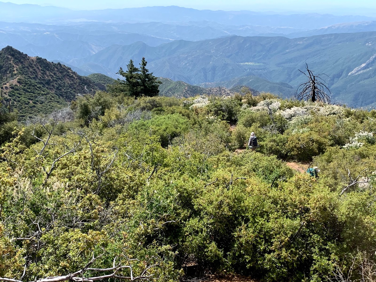
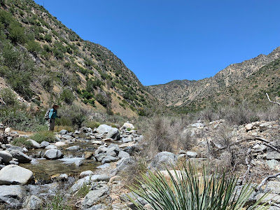
Pretty much after Saddle Skirt there is nothing left of 19W10. The going is beyond slow. Narrow ravine sections are choked with dead-fall and unavoidable PO. There are a few wider spots that open up before Borracho Spring that do help with travel but for the most part it's a battle. We far underestimated the difficulty and amount of time we would spend getting through.
Reece and I hit the trail at 6:30am and it would not be until 7pm that we were able to reach the Borracho Camp Vicinity and find a flat spot suitable enough to lay down for the night. On top of this I fell earlier in the day climbing around like a monkey and bashed my thumb pretty much rendering it useless for the remainder of the trip, as I sit and type this post it is still swollen and purple.
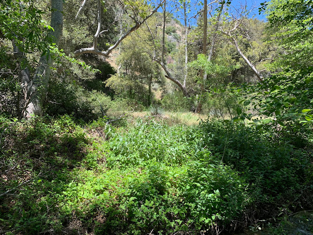 |
| 19W10 after leaving Saddle Skirt |
 |
| Open stretch before Borracho Spring |
 |
| Borracho Spring flowing nicely |
At around .2 of a mile beyond borracho Spring and just before the junction with the Agua Blanca and the Western drainage coming off Cobblestone Mountain (our route) is where the old trail climbed high above on the eastern bank over a series of rises and through notches to leave the Agua Blanca Behind. The climb is quite arduous and if it wasn't for an old horse shoe I found up there it would be hard to believe that a trail ever existed in such a precipitous setting. This is a key point in the route and one you must be mindful of if attempting the journey. Trying to continue along the Agua Blanca from here will lead you in the wrong direction and climbing out much later than this will be difficult.
 |
| Climbing loose rock up and away from the Agua Blanca |
 |
| Reece taking a breather or just perhaps admiring the views. |
 |
Night one Camp (N34.61486° W118.89582°)
above the creek adjacent to where I believe Campo Borracho once was or possibly still is. |
Thoroughly exhausted after reaching what should have been Borracho Camp and not immediately finding anything we chose the flat pictured above. As I mentioned previously it was about 7pm and the group had been through enough for one day. While Paul and Reece began to set up camp Kim and Myself dropped pack and attempted one more search of the area for the historic Campo Borracho site but once again came up empty handed. From Kim's recollection the Day Fire had completely changed the landscape. The canyon is walled in with thick brush and most spots nearer the water with any flat space are completely overgrown making them damn hard to inspect. knowing there was not much more we could accomplish before dark we resolved to continue the hunt in the morning.
 |
| Here's what ones working with trying to navigate Borracho. Somewhere in a mess like this lies those Ice Can Stoves. |
 |
| Plenty of water most of the way to the Cobblestone Saddle. |
 |
| Brush for days |
The second day's plans were even more ambitious than the first. Find Borracho on the way up to Cobblestone Spring Camp and spend night two near or at Halfway Spring. On paper this looks doable, however knowing what we know now of the current field conditions makes this notion just laughable. Day two once again proved to be painfully slow going. We did not find Borracho proper. Is my search over? The answer to that question is hell no. I will return once I can again park at the upper Buck Creek Trailhead and drop down the old 19W12 connector. I'll spend a couple nights with some good help and the right tools and Campo Borracho unless completely destroyed will again show herself.
 |
| Working our way up toward the saddle. |
 |
| Looking back down toward Borracho from the Cobblestone Saddle. |
 |
| Busted Junction sign at the Saddle. |
After hours of grueling work we finally reached the Cobblestone Saddle. The worst was over. I ain't gonna lie the stretch from Ant Camp to here is straight brutal. By now we were way behind schedule and the realization that we were not gonna make Halfway Spring this day was beginning to set in. All thoughts from this point on were of the hopes that Cobblestone Spring Camp would be flowing or else it was going to be a long and perhaps thirsty night.
In route to Cobblestone Spring Camp

From the Saddle everything opens up and a well defined use trail leads you toward the Summit of Cobblestone. Being a
Sierra Club HPS hike this section of trail still see's a fair amount of use. There are two practical ways you can reach Cobblestone Camp the first being break from the Summit route .4 of a mile from the saddle and follow 18W03 Southeast across the Northern flanks of the mountain as we did. Washed out sections here will require a bit higher traverse than the original trail followed. Or go ahead and push to the Summit first then traverse the ridge southeast and drop down into the camp. A drop in from above will need to be done before being directly above the camp to avoid walls of impenetrable brush that marks the camps eastern and Southern borders. After seeing the camp and staying the night I was actually quite pleased we were not able to push further. I rarely use the L word but hey I LOVED Cobblestone Spring Camp. Being 6000 feet up on that mountain in such a picturesque setting was an unforgettable moment and a reminder of just how special the Los Padres can be.

 |
| Jeez that old cistern has seen better days |
 |
| One would be hard-pressed to find a better hiking mate than KC. |
 |
| 1 of 3 Ice Can stoves |
 |
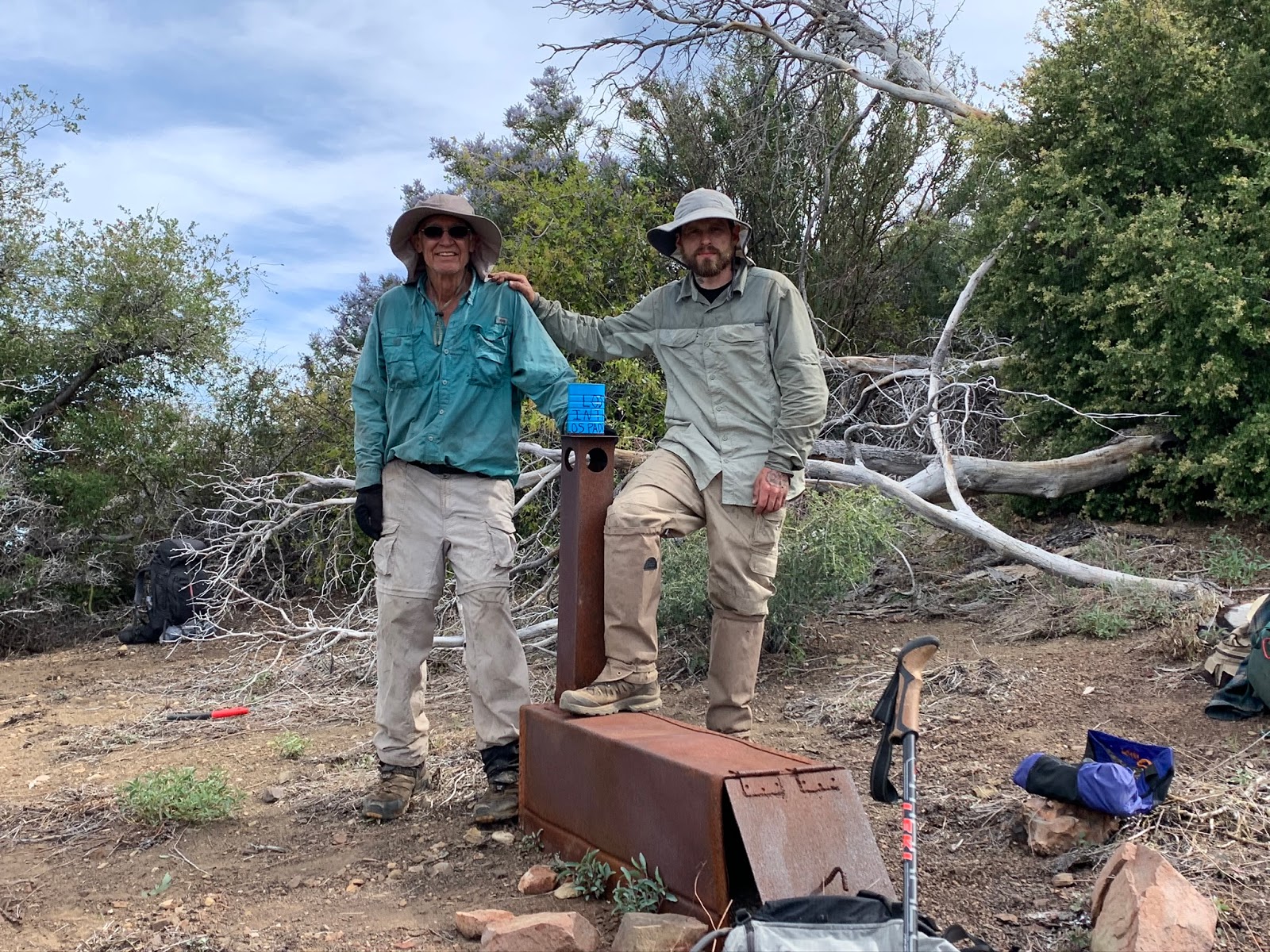
| I'm sure you knew it was coming. This is now site #6 of the blue cans with a cool sticker and a 25$ REI gift card. |
 |
| Plenty of tent space here with 3 separate flats. Camp Coordinates - (N34.60767° W118.85682°) |
 |
| Middle flat that Reece and I occupied. |
 |
| Path from Camp to the Spring Box |
 |
| Swapping stories |
 |
| Sunrise From Cobblestone Spring Camp |
You know that old saying if you were a fly on the wall, well listing to our day 3 plans one might be thinking do you guys ever learn ? Again a big bold ambitious agenda that would get us back on track by reaching Log Cabin Camp or perhaps maybe even a bit further. After saying our goodbyes to Cobblestone Spring we loaded up and began the steep climb out of camp and up to the ridge top. Forget about attempting to follow the old trail here on a more gradual accent, unless you want to be crawling on your hands and knees through god awful thick, prickly stuff. The best open path is almost straight up actually better yet at a slight angle pointing back toward the summit. You will gain approximately 700 feet elevation in a half mile.
 |
| A look down on Cobblestone Spring Camp |
 |
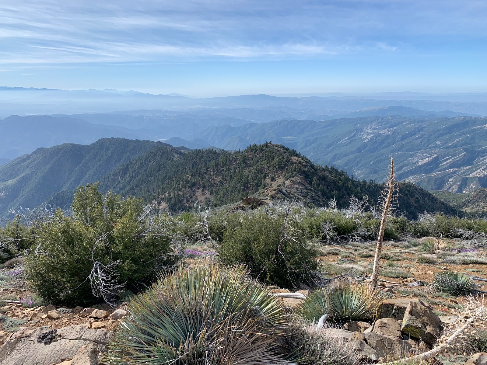
| View from the top & the next ridge line decent. |
 |
| Looking down on Piru Creek and Ellis Apiary. |
The climb out of Halfway is nasty but you need to get back on the ridge. We choose a spot very near where the old trail would have climbed out (now washed out). From our exit point it's about .5 of a mile further along to where 18W03 originally dropped into Turtle Canyon. I noted the location on the map. We choose not to drop in here and just continue along the ridge top and I suggest you do the same. That Turtle Canyon drop in looked treacherous and we wanted no part of it. Essentially the ridge detour will drop you steeply in the same spot on Piru just before Ellis Apiary as would have the exit from Turtle.
Ellis Apiary Trail Camp

My heart sank once arriving at Ellis Apiary. I was just telling the guys how nice the Camp looked after my recent clean up of it back in September. You can view the previous post
here. What a disaster, the place is completely overgrown already. Dammit everything grows back so fast around here. All that hard work and it appeared nothing was ever done. Obviously this Camp will need a dedicated group making multiple trips per year to keep it in good shape. My sense is that wont ever happen but you never know with the Potholes Trailhead open maybe more people will come. Not only was the brush high but the place was super buggy. We elected to stay the night on the open pebble beach section adjacent the camp nearer the creek. To add to the list of memorable moments rain dumped on us the next morning. The one night Reece decided not use his rain fly of course. A check of weather before we left hinted at a slight chance of rain Tuesday morning this was only Monday. He had all his belongings nicely stacked near his tent and was sleeping very peacefully in the downpour. When I awoke I said "hey Reece it's raining" never in my life have I seen him move so fast, he sprung out of that tent from his slumber like a cheetah on a gazelle cursing his unfortunate luck. Kim's bivy lost it's waterproofing years ago by this time he had already drug his stuff under a tree and was most likely chuckling at the spectacle taking place North his little site.

Our Camp on "Pebble Beach" Adjacent Ellis Apiary
Somewhere between 5-6 is the approximate Mileage from Ellis Apiary to the new Pothole Trailhead add another 5 miles to that if your forced to walk all the way to the Lake Piru main entrance as we were. Damn you Covid-19. The trail from Ellis to where the old road cut leads you out of the creek toward the Agua Blanca junction is no longer maintained. Yes there are a lot of shitty spots that being said a huge portion is still viable (mostly on the west bank). Far less time needs to be spent drudging up the creek bed than I think most would suspect.
Piru Creek
 |
| Blue Point Caves |
 |
| New Potholes Trailhead (N34.51168° W118.76287°) |
According to my old, cracked, touch screen, pain in the ass Garmin etrex that I will no longer be using (I finally upgraded) our total mileage was about 33. After all the time spent dreaming of Borracho and Halfway It's still a surreal feeling that we actually accomplished the trek. Not all the event details were spelled out in this post. I mean sometimes what happens in the backcountry should stay in the backcountry. Cheers to my fellow mates that made the journey alongside me. Kim your earlier experiences and beta proved invaluable, thanks my friend for seeing this one through.


 Here's a before and after picture of what is most likely a newer user created site right off the old trail. We brought the ice can stove from where it was hidden down in the ravine up to the site and built a bench from deadwood. I'd say we left the place nicer than we found it. Notice the no longer legible plywood sign in the tree. - N34° 38.251' W118° 52.150'