Showing posts with label Rose Valley. Show all posts

Tuesday, February 18, 2020

East and West Fork Lion Camps

West Fork Falls Lion Canyon
Post Valentine's Day plans were in the works. I wanted to get the girls out on the trail and away from the city. I proposed a visit to the Chumash Wilderness and a Camp survey of Lily Meadows. With the clan all in agreeance we had our bags packed and ready. Saturday night before retiring to bed I decided to check NOAA. The spot forecast feature showed possible wind gusts of up to 40 mph. Surely my girls would not tolerate those kind of windy conditions so to play it safe a last minute change of plans would call for Lion Canyon instead where the winds had a much more favorable outlook. 

Middle Lion Campground

Lion Canyon Trail 22W06 departs from the very Southern end of Middle Lion Car Campground. Just before entering the Campground a sign on the West side of the road marks some day use parking for the trailhead. Sunday morning we found the Camp very busy with a full house, however by the time we returned to the car (late afternoon) the Camp had mostly cleared out. 


While her mom stumbled across wet rocks Haylee quickly took advantage of a down tree for a nice dry crossing.
After passing through the gate and onto 22W06 within 250 feet you will cross Lion Creek and make your way along the East bank. The next mile or so leads you high above the water before eventually dropping back down to meet with the Rose-Lion Connector Trail 22W16. Which as the name states is the trail that connects Rose Valley Campground with the Lion Canyon Trail. 


This whole stretch of Canyon is still scarred from the Thomas Fire and has basically zero shade. The plus side though is the views down on the creek are still pretty and the trail is very easy to follow thanks to recent trail work from The Los Padres Forest Association  and partners. 


High on the East bank along 22W06
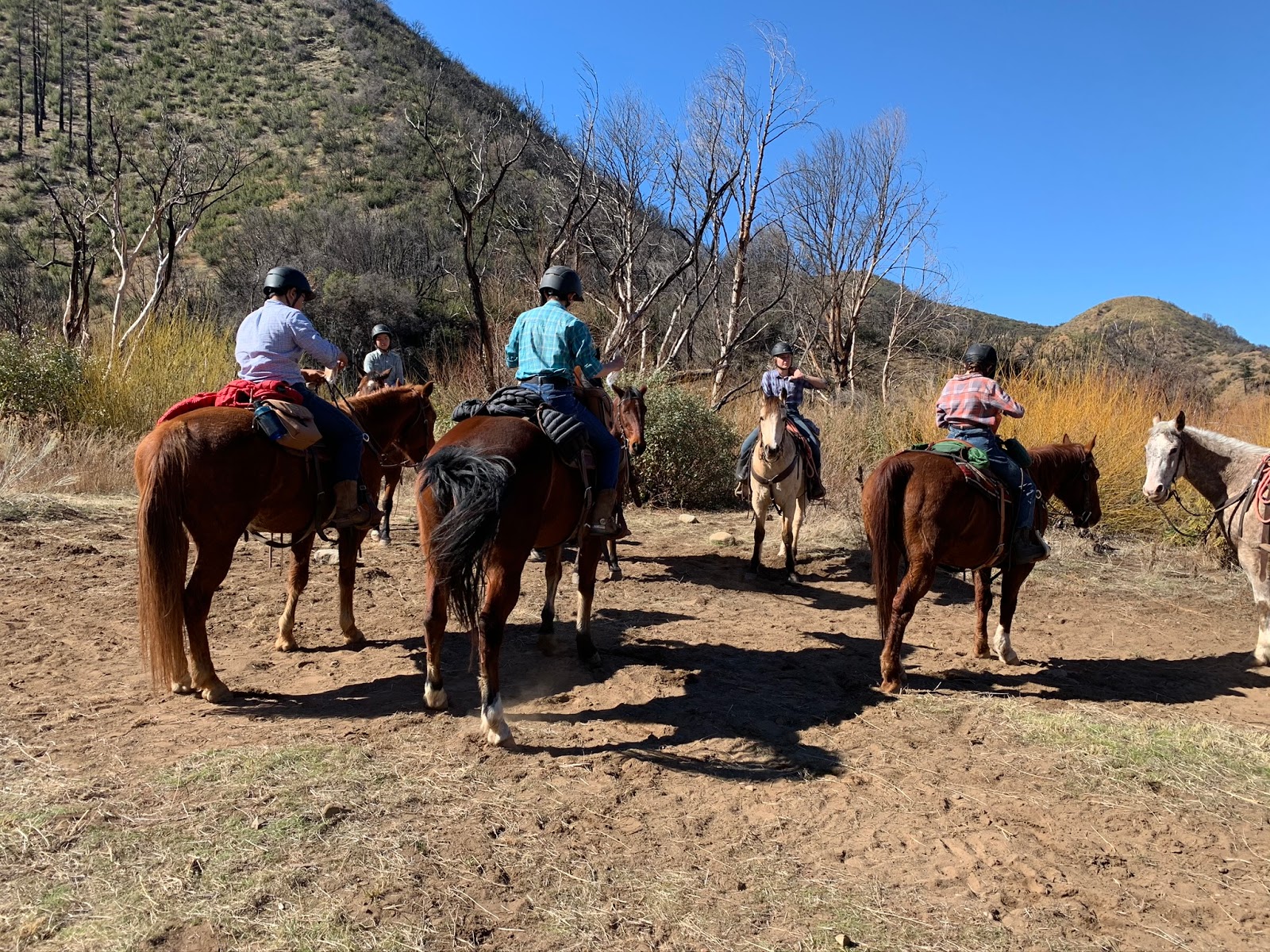
 About .6 a mile beyond the Rose-Lion connector is the 4 points junction. Here one Can continue straight up Lion Canyon until reaching Nordhoff Ridge Road, make a left to East fork Camp and or Right to the West fork Camp. Both Camps were on our agenda for the day so we first choose the East. The source of all the horse manure we were dogging thus far was also revealed as a group of riders were stopped at the junction when we arrived. 


After making a left at the junction within .3 of a mile on a large open flat is an overflow site for the Main East fork Camp. N34° 31' 48.0" W119° 08' 47.6"  Here you find a few small fire rings, steel grill grate and pile of cut wood. I feel this is not a choice site, if available definitely continue on the .2 of a Mile further to the Main Camp nearer the falls. 

East Fork Lion Overflow #1 

As with  Middle Lion again we arrived to a full house at the East fork Main Camp. I snapped a few photos with permission from the Campers but did not want to be disturbing them to much. East fork camp lies just inside the Sespe Wilderness the site is large and could easily accomodate a good sized group. There were at least 3 fire rings, an old Ice Can Stove and clear cool water was flowing from the creek. Camp Coordinates: N34° 31' 43.2" W119° 08' 39.5"

East Fork Lion Camp

On the opposite side of the creek and just before the main camp hiding amongst debris is another overflow or secondary site that appears to be getting little use. While there is a big fire ring poodle dog is growing in the small flat area and all the brush and downed trees may be acting as a deterrent. For the sake of trying to be semi thorough I have labeled it on the map below as East Fork Lion  Overflow #2. Site coordinates : N34° 31' 44.5" W119° 08' 41.8" 

East Fork Lion Overflow #2
The main attraction for the Lion Canyon Camps are the set of nearby waterfalls. Continue past the main camp, after the trail ends follow the creek a shortest distance about .1 of a mile total to arrive at East Fork Lion falls, (formally referred to as Spruce Falls). Here an impressive series of small waterfalls cascade down over conglomerate rock forming nice pools for warmer weather wading. 

East Fork Lion falls


After a satisfying break on the East Lion Falls we made our way back to the four points junction and onto the West fork Lion. From here the trail mostly follows the east side of the creek about .4 of a mile to the West fork Lion Camp. The trail leading in was in far better condition than I expected and it appears recent clean up work has been done at the Camp. 

West Fork Lion Camp Site #1

The Main site has a large flat with rock fire ring, steel cooking grate and a makeshift bench. Across the creek on the West bank the smaller site #2 has a similar setup minus the fancy bench. The Camp could definitely benefit from a bit more cleanup (encroaching brush/Fallen debris) especially the #2 site. While the creekside location near the falls here is nice the lack of shade may present a problem. Craig R Carey writes in his book Hiking & Backpacking Santa Barbara & Ventura of at one time a third island site and a "largely forgotten" fourth site along a game trail somewhere down stream. I didn't go looking but if Craig mentioned it I'm all but certain it's there or was.

West Fork Lion Site #2
After all the fun had on the East fork the girls were eager for the next waterfall. We quickly passed through the camp and scrambled our way about 400 feet upstream to the (in the my opinion) even more impressive West Fork Lion Falls. 
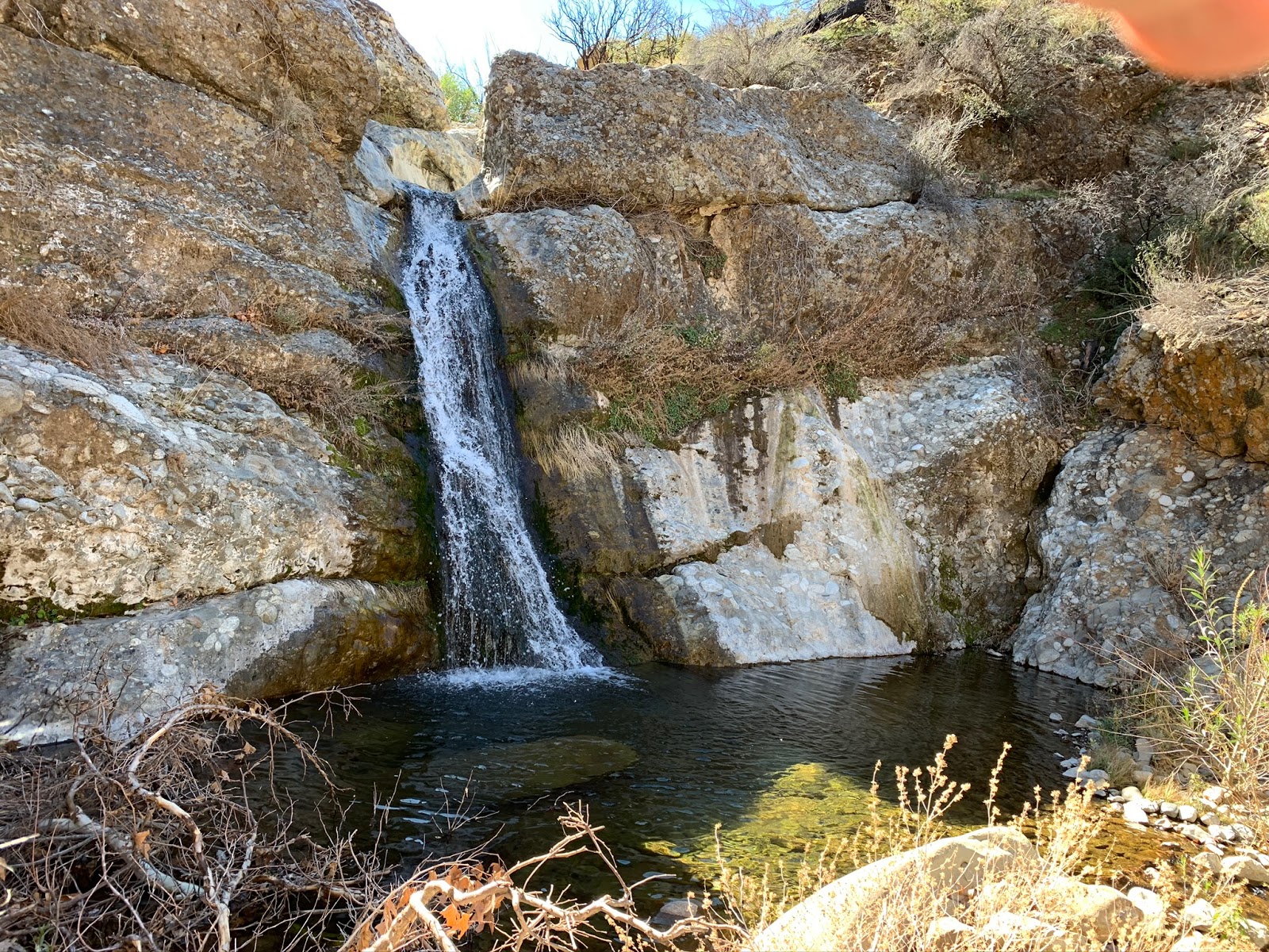
West Fork Lion Falls
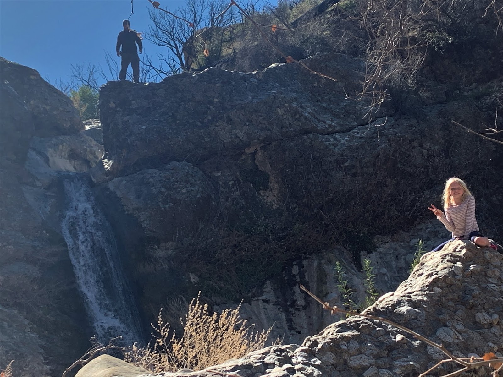
Father Daughter shenanigans 

Looking down from the West fork Falls my wife Suzanne in the distance
Pool directly atop the Falls

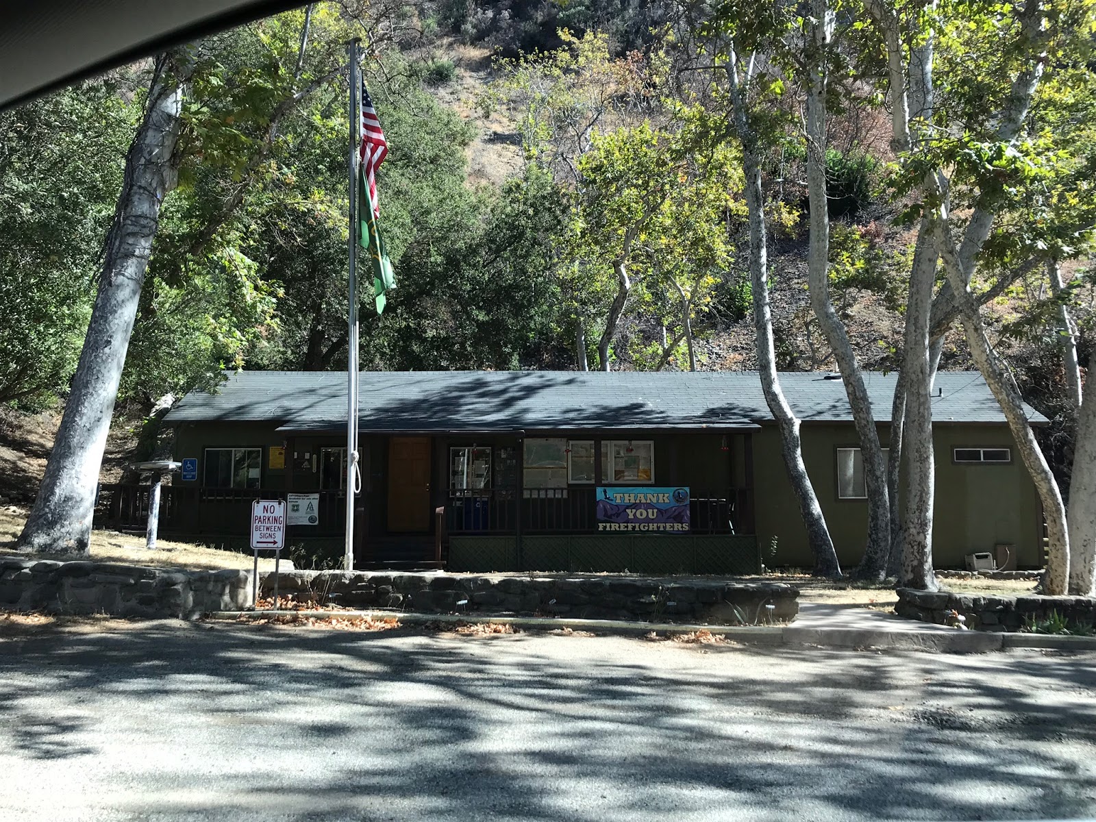
Haylee and I climbed to the top of the Falls and did a little exploring beyond, at some point I would like to return and go much farther back. As is always customary when my little girl joins me we stopped on our way back down Hwy 33 at the Wheeler Gorge Visitors center to pick up some goodies and check in on the interpretive display. The visitors center operates under a special use permit with the Los Padres National Forest and the Los Padres Forest Association. There is usually something cool going on so if your in the area drop on by they love the support. 

New shirt for me, a crystal rock & Smokey The Bear coloring book for Haylee
Wheeler Gorge Visitors Center

With all our exploring the total mileage in and back out for the day was around 7.5 If Lion Canyon is on your shortlist now is definitely a great time to visit before the summer heat rolls in. While many of the Alders and sycamores were scorched in the fire there is still and good amount of Big Cone Douglas-firs. This area is quite popular with day hikers and local scouts and makes for a great introductory backpacking destination for the young ones. 


Monday, October 15, 2018

Piedra Blanca From Rose Valley


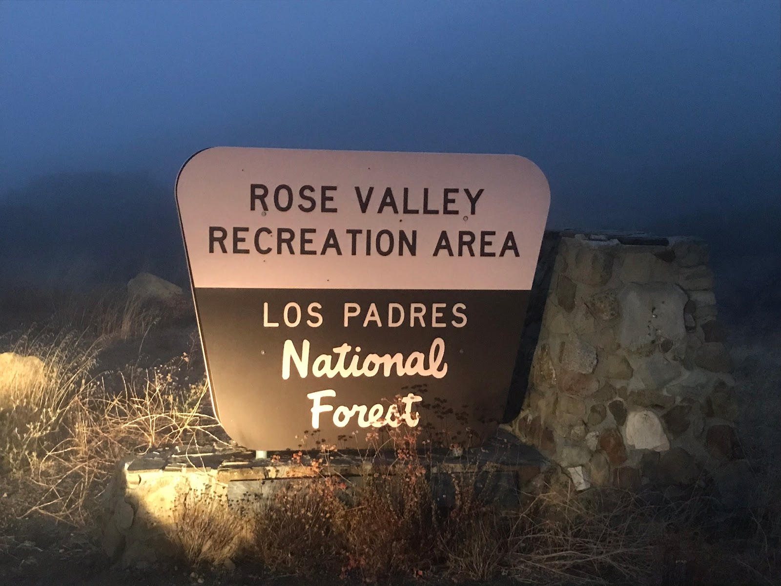
Piedra Blanca Trailhead starting at the end of  Rose Valley Road in Ojai is one of the major corridors into the Sespe Wilderness. From here you can access multiple Trails including The Gene Marshall-Piedra Blanca National Recreation Trail(22W03), Sespe River Trail(20W13), and Middle Sespe Trail(22W04). All three of these Routes share the same Trailhead. This tends to be a very popular destination for Hikers who visit the Los Padres National Forest. Also just southwest a short distance On Rose Valley provides access to Rose Valley Falls and Lion Canyon. So as you can see there are plenty of great opportunities to explore the backcountry here.

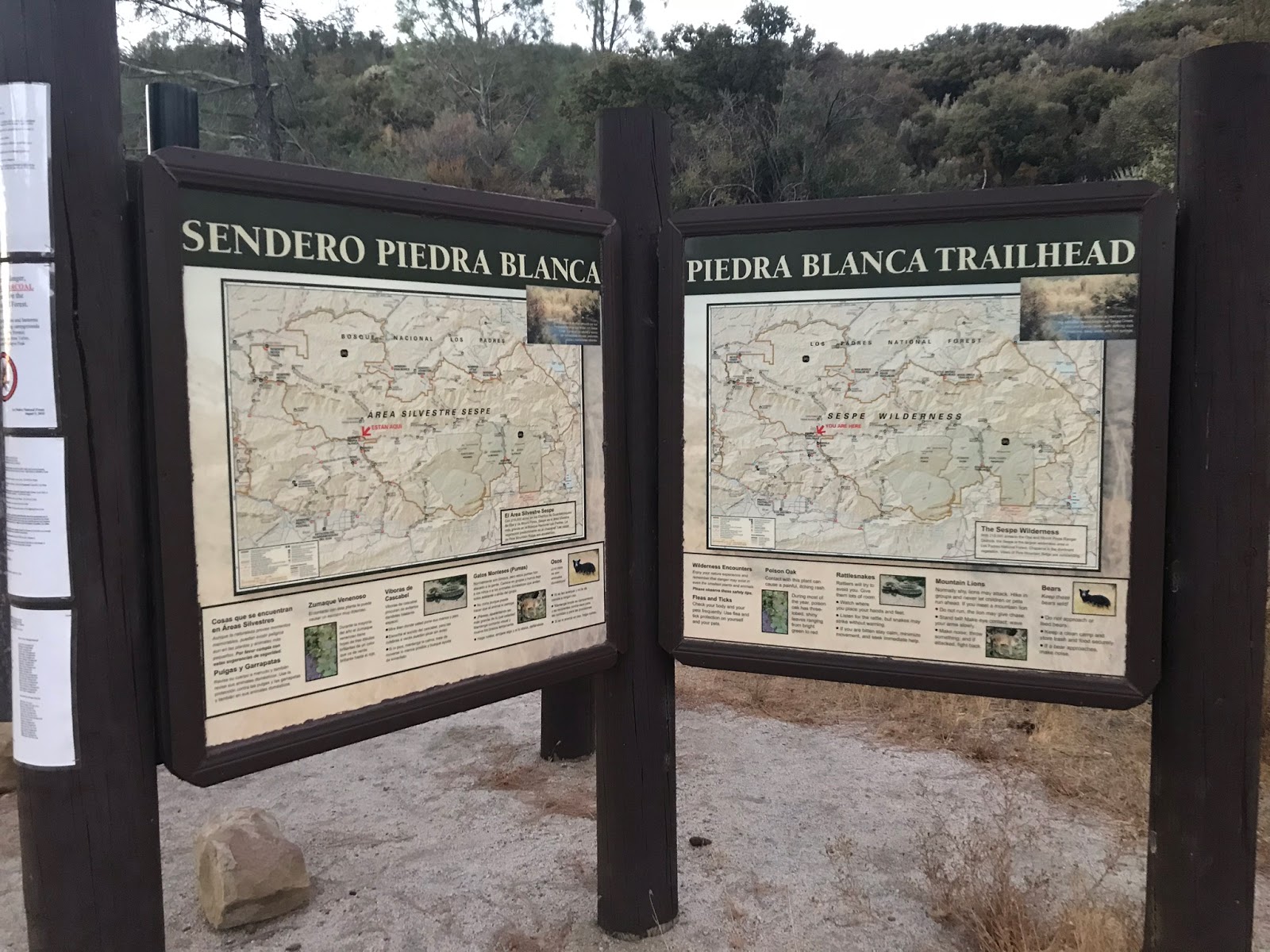
Piedra Blanca Trailhead
This Trailhead is open all year (no overnight camping ) for that you would need to go to Middle Lion or Rose Valley Campgrounds. Adventure Pass is required to Park here. Parking is first come first serve. The Trailhead has toilets, informative signs and parking is plentiful.

Trail starts straight ahead at the end of the parking lot

Trailhead Facilities
For this spot I will spare you the turn by turn directions, it can be easily found on google. Here is a quick link to access the location. (Piedra Blanca trailhead from Rose Valley).


Originally called the Piedra Blanca Trail, the trail was granted the designation National Recreation Trail in 1977 and in 1992 was renamed the Gene Marshall-Piedra Blanca National Recreation Trail in recognition of the significant role Gene Marshall played in the development of the Los Padres Condor Range and River protection Act. The trail starts along Sespe Creek and Follows Piedra Blanca Creek to its headwaters on the backside of Pine Mountain eventually Terminating at Reyes Creek Campground near the Cuyama River, leading you through some Significant and historical Rock formations and into the high country where Pines and Cedars are abundant. The Reyes Ridge and surrounding high Country in my opinion affords the best scenery the Southern Los Padres has to offer. There are multiple trail camps along the route including Piedra Blanca, Twin forks, Pine Mountain Lodge, Three Mile, Haddock, Bear Trap, Upper Reyes, and Reyes Creek Campground. This area was once inhabited by the Chumash Indians and if you know where to look you can find evidence of their existence scattered about. Please treat these finds with respect should you stumble upon them.

Chumash Pictographs 


The Trail Takes off from the very eastern end of the parking lot. In .2 miles you will need to make a left between 2 rocks at an unmarked junction. Proceeding toward Middle Sespe Trail and Gene Marshal-Piedra Blanca.

Turn Left Here
Immediately after the junction you will have to cross the mighty Sespe River.(Although it was not to mighty as it was dry this time of year.) 

Dry Sespe River Crossing
After the river crossing follow the trail North on a gradual uphill grade through the chaparral zone for about .8 of a mile until reaching yet another junction. Here at this junction proceed right and on to the Gene Marshall-Piedra Blanca National Recreation Trail.(A left would lead you onto Middle Sespe Trail). 
Follow the line of rocks to your right Here
In a little over 200 feet from this junction you will know your on the right path when Pass The Wooden Sespe Wilderness Sign. I like these older Wooden signs much better than the newer Plastic ones. Just seems more Authentic. 
Old Wooden Sespe Wilderness Sign
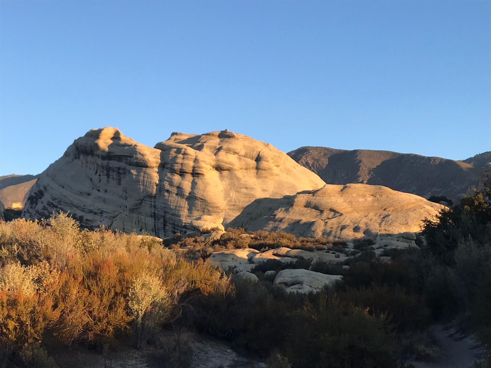
Immediately after passing the sign as your round the bend and proceed due north you get your first look at the main attraction to this area. The Piedra Blanca Rock Formations are a sight to behold. The trail takes you right through and over this magnificent collection Of rocks.


Here I spent about an hour off trail climbing the rocks and poking my head into all the little caves, cracks and crevices that I could find. I did not even begin to scratch the surface of checking out this whole area. I had it set in my head that I would make it up to Pine Mountain Lodge camp on this day so I couldn't spend near as much time as I would have liked here. I figure I will return and devote a whole day or two next time just in the Rock formations. 


 Shortly after leaving the rock formations in the distance the trail drops you into the Piedra Blanca Creek Drainage and follows the Creek on an easy uphill until reaching the Piedra Blanca Trail Camp at a little over 2 miles in.

Piedra Blanca Main Site #1

Piedra Blanca Main Site #2

Piedra Blanca Down stream Site
The camp is situated on a nice large flat area covered by massive oak trees. Water was available and flowing in the creek. I found the camp to be very nice and in good condition. My only complaint is that it was pretty much a full house. Being so close to the Trailhead makes Piedra Blanca Camp a very popular Backpacking spot, especially nice if your planning on bringing the youngsters for their first taste of backcountry fun. Watch out Poison oak was prevalent at the water's edge and surrounding areas of the camp.

Water at Piedra Blanca Camp

Given the large crowd I encountered, I eagerly high tailed it out of there and made swift time up to Twin Forks Camp.That's not saying much though as Twin Forks is less than a half mile away up the drainage from Piedra Blanca. Just like the Previous camp, Twin Forks and the trail beyond through the next few stream crossings had a good amount of poison oak.

Turn right here for Twin Forks Camp
Sitting Adjacent to the stream junction of The main fork Piedra Blanca Creek and North Fork Piedra Blanca Creek is Twin Forks Camp. When you reach the sign pictured above turn right and follow the spur trail across the creek. The Main site sits on a flat above the creek with nice sized fire pit. There is also another nice flat area above this under a big oak tree if more space is needed for tents. When I arrived I found nobody here compared to the busy Piedra Blanca Camp just downstream. 

Main site Twin Forks Camp

Another View of the main site
After leaving Twin Forks the trail follows the North Fork of Piedra blanca Creek up the canyon toward Pine Mountain Lodge Camp.This stretch is an ass kicker as you will gain around 2400 feet of elevation. The trail is exposed here and hot providing few spots with shade. This was my least favorite part, on the plus side though in about 3 grueling miles you will be at the top, out of the chaparral zone and into a beautiful setting of pines and Cedars. 

View North Toward Pine Mountain Lodge

Looking down into the North Fork Piedra Blanca Drainage you just climbed
You will notice as you get closer to the top the air starts to become cooler, with a fresh Pine scent. It is a nice motivator to keep on trekking. Once atop the ridge and on your left side before the trail sign and the Main Camp sites of PML is a wonderful clearing under thick pines. This would make a really nice spot to camp.

Nice clearing under pines just south of Pine mountain lodge

This sign marks the Main Sites Of Pine Mountain Lodge

To the left and right of the sign pictured above are what I believe to be some secondary overflow sites. The west side site is shaded under a nice tree canopy, while the eastern one sits more exposed. Water was available at the stream north of here next to the main camp off the Cedar Creek trail.

Old School Sign

Pine mountain Lodge Camp


 Old Relics 

 West Side Camp Site

exposed site adjacent to the one pictured above.
While most of the sites up here did not give as much shade as I would have preferred it is still a very pretty area with nice fire rings and would make for a great spot to stay while passing through. While up here I saw nobody, and enjoyed a nice peaceful lunch break before setting off back down the hill. Note to reach the Main site off Cedar creek trail near the stream, continue a short distance from the secondary sites once you reach the sign pictured below hang a hard right. ( It can be easy to miss if your not paying attention). 

Make a hard right here For the Site off Cedar Creek trail
For a bit of history Pine Mountain Lodge Got its name from a Cabin built in the late 1800's by the Sisquoc Rangers. Some time in the 1940's the cabin was accidentally destroyed by the United States Forest Service in an attempt remove some badly diseased trees. I found no evidence of the old Cabin. 
As mentioned earlier I did this as an out and back , so once finished at PML I returned to the car the same way I came in. My total Mileage for the day was 14.7 including all my on and off trail exploring that I did. 

Wheeler Gorge Visitors Center


Goodies I picked up at the Wheeler Gorge Visitors Center
On your way home if you have time and your headed south on Hwy 33 take a moment and visit the Wheeler Gorge Visitors center. Located directly adjacent to Wheeler Gorge Campground. They have some really nice displays and a little gift shop that helps supports our Local Forest. I dropped a few bucks in the donation bin and picked up the items pictured above. I have been wanting that Sespe Wilderness/Hike Los Padres glass for awhile. I tested it out with a cold beer as soon as I got home. As I always say I had another hell of fine day Lost In The Los Padres. 


Download GPS Track (GPS Units)
Download KMZ File (Google Earth)