|
| Looking up Cienaga Canyon toward Knapp Ranch |
While I am glad we are currently getting a much needed nice wet winter the current snow and rain situation has been making it more difficult for me to visit my usual Los Padres stomping grounds. In thinking of places I could visit a bit closer to home I remembered Back in July of 2018 I attempted a run up
Cienaga Cyn From Templin Hwy. For reasons beyond my control I did not make it near as far up the Canyon as I would have liked. I vowed to go back and today felt like a good time to do that. This time however would be from the top off Old Ridge Route heading to Knapp Ranch formerly known as Kelly Ranch and possibly even earlier being the physical site of the Pre-1811 Tataviam village of Cuecchao. Inhabited by the Chumash Indian sub-tribe Tataviam, or Alliklik as they were called by locals. (See photo below for supporting evidence).
 |
| Found this stone along with others on the Knapp Ranch property about in the middle of all the structures |
Frank Knapp purchased the Kelly Ranch in 1962 and mentions visiting as early as the 1930's. The historical record on who exactly Kelly was and why he sold the property seems to be a bit sketchy. From some accounts Kelly may have operated a gas station and restaurant on the nearby Old Ridge Route from 1915 to 1933. In the early 30's Knapp and his former boss King Gillette(of yes the famous Gillette Razor blade) were searching for the legendary Los Padres Gold Mine. (Spanish Monastery were said to have found an ultra rich gold vein using forced slave Indian Labor). Gillette was obsessed with finding this lost mine and sunk his fortune into doing so. According to a former Knapp employee from the 70's Kelly was supposedly beaten by some guys badly in a horse pasture in 1962. Rumors speculate that maybe it was for information on the whereabouts of the Los Padres Mine. I won't go into detail here about the legend but the history of it and its location is fascinating. To this day it still has not been found. To add to the Kelly mystery a 1983 article in SCV history notes they could find no reference to any Kelly at all, except for Allen Kelly who was hunting Grizzly bears in 1889. There is reference to Annie Rose Briggs though said to be living at the property in the 1950's. (Some photos below of what's left of the Knapp ranch structures, click on any picture to enlarge them).
 |
| Side View of the main Newer looking house |
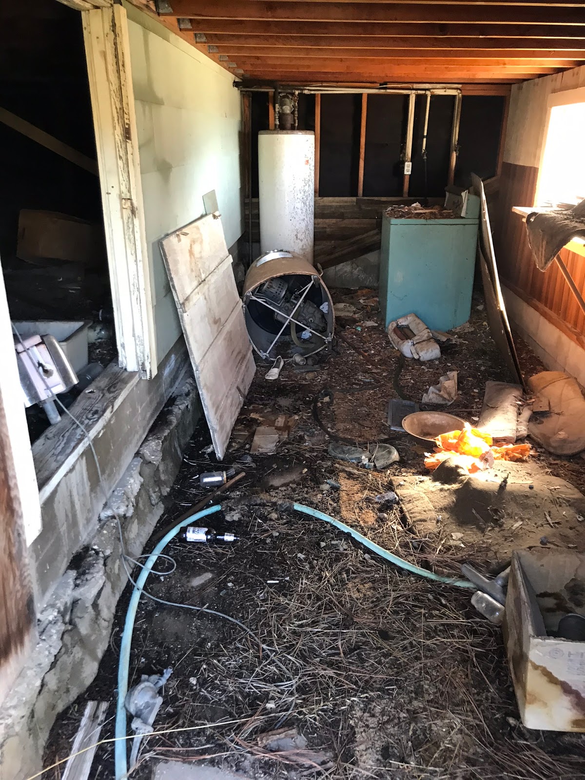
Front View of the main house and a look underneath
Living room and the kitchen
 |
| Outstanding view from the living room down Cienaga Canyon |
 |
| The stables on the western end of the property |
 |
| Lots of irrigation and sprinkler systems running through this field adjacent to the main house |
Knapp spent many years living secluded on the ranch with his animals. He spent much of his time hunting, fishing, tending his vegetable garden and finding Indian artifacts. Frank loved his ranch, when he first saw it sometime in the 30's gold mining he knew he would own it someday. Frank Knapp passed away in 1988 and left the ranch to his brother Joe who held the property til his death in 1992. Relatives then sold the ranch to the organization Friends of the Forest bankrolled by Rosie Greer. The United States Forest Service would then go on to acquire the Ranch from Rosie in a 200 acre land trade. (There are multiple worn down structures still standing on the property see more photos below. To make these easy to identify on the included map I have attached my own label name to them).
 |
| The Third house |
 |
| Third House kitchen |
 |
| Small Cabin |
 |
First Ice can style stove I have seen of this size in the small cabin
|
 |
| Second really old looking house |
 |
| Peak inside of the second house |
 |
| The workshop/shed |
 |
| Small Bunkhouse |
 |
| The Water Tower |
While at the property we decided to add a few extra miles to our trip by heading deeper down into Cienaga Cyn.(This was a bushwhack). Below the main ranch are multiple fenced in areas that looked to be used for grazing. Even further on Cienaga Canyon trail passes nearby an Indian Burial Site. Stories of malevolent Indian spirits guarding lost gold mines in the area are not uncommon. The man who originally found the burial site was later severely injured in a motorcycle accident along the trail and Hugh Blanchard describes a report from a forest service worker and his female Native American companion about her insisting they turn back back from a hike toward the mines as she was getting a very uneasy and disturbing feeling of some sort of evil or unfriendly presence.
 |
| Map of Structures on the property |
If you found this write up interesting and would like to pay a visit to the Ranch here is one way you can do so. From the Santa Clarita Valley head North on the 5 freeway to the 138 East. Take Old ridge route for a little over 3 miles to its junction with Forest road 7N23 and park here. (N34° 42' 56.8" W118° 42' 39.1"). Warning be careful heading in on Old Ridge Route this time of year as you can see from the photos below the road can be icy and surrounded by snow especially in the morning. High clearance vehicle is best. (By midday when we left all the ice and snow had fully melted away).
 |
| Decent amount of snow and ice in the morning heading in |
 |
| Park here on Old Ridge Route, your hike on foot takes off between the 2 signs along Forest Route 7n23 |
Once parked leave old ridge Route and follow Forest road 7n23 uphill a very short distance to it's locked gate. Pass through the locked gate and continue along, at about .6 of a mile you will arrive at the junction with forest Road 7n22. Keep right and head onto 7n22.
 |
| Keep right here and onto Forest Rd 7N22 |
 |
| Really neat Rock formation seen from along Forest Rd 7n22 |
 |
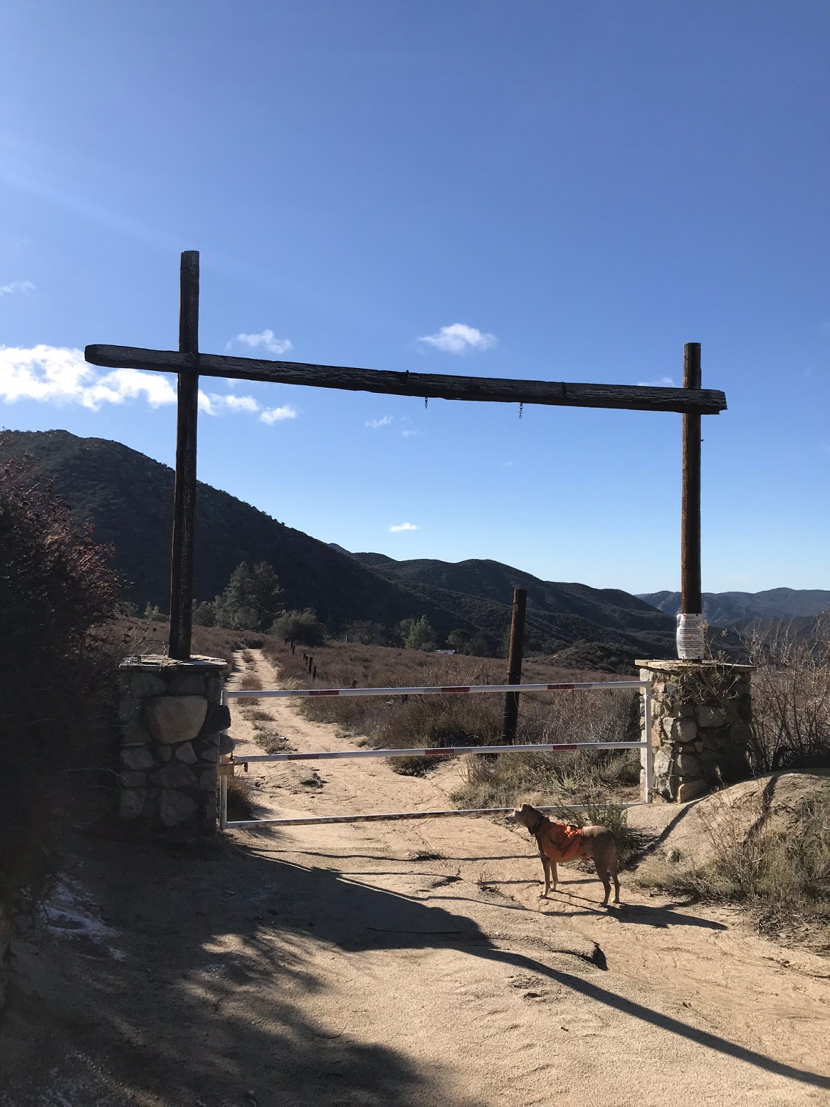
| Front gate entrance to Knapp Ranch |
From the parked car to Knapp ranch is about 5 miles. Mostly downhill all the way in with some decent elevation gain on the way out. My day finished at just under 14 miles however we explored further down the Canyon. For an out back just to the Ranch you're looking at just over 10 miles. The entire Hike follows forest roads until reaching the ranch so the trail is in good shape and easy to follow. Get out there and have a look! Extra adventurous folks might even try finding Gillette mine which should be about another 2 miles further from the ranch. (KMZ file and GPS track available for download below the google map).