|
| View From atop the West Tumamait Trail in the Chumash Wilderness |
Had a very busy yet productive day on Sunday. Hit the Summit of Cerro Noroeste, visited Campo Alto Campground, completed a trail and Campground Survey Of Mesa Springs and visited a historical site all in a days work. My morning started bright and early I drove to
Campo Alto Campground in The Los Padres National Forest of the Mount Pinos Ranger District.
 |
| Campo Alto Campground entrance |
 |
| Andy Gumps were surprisingly clean |
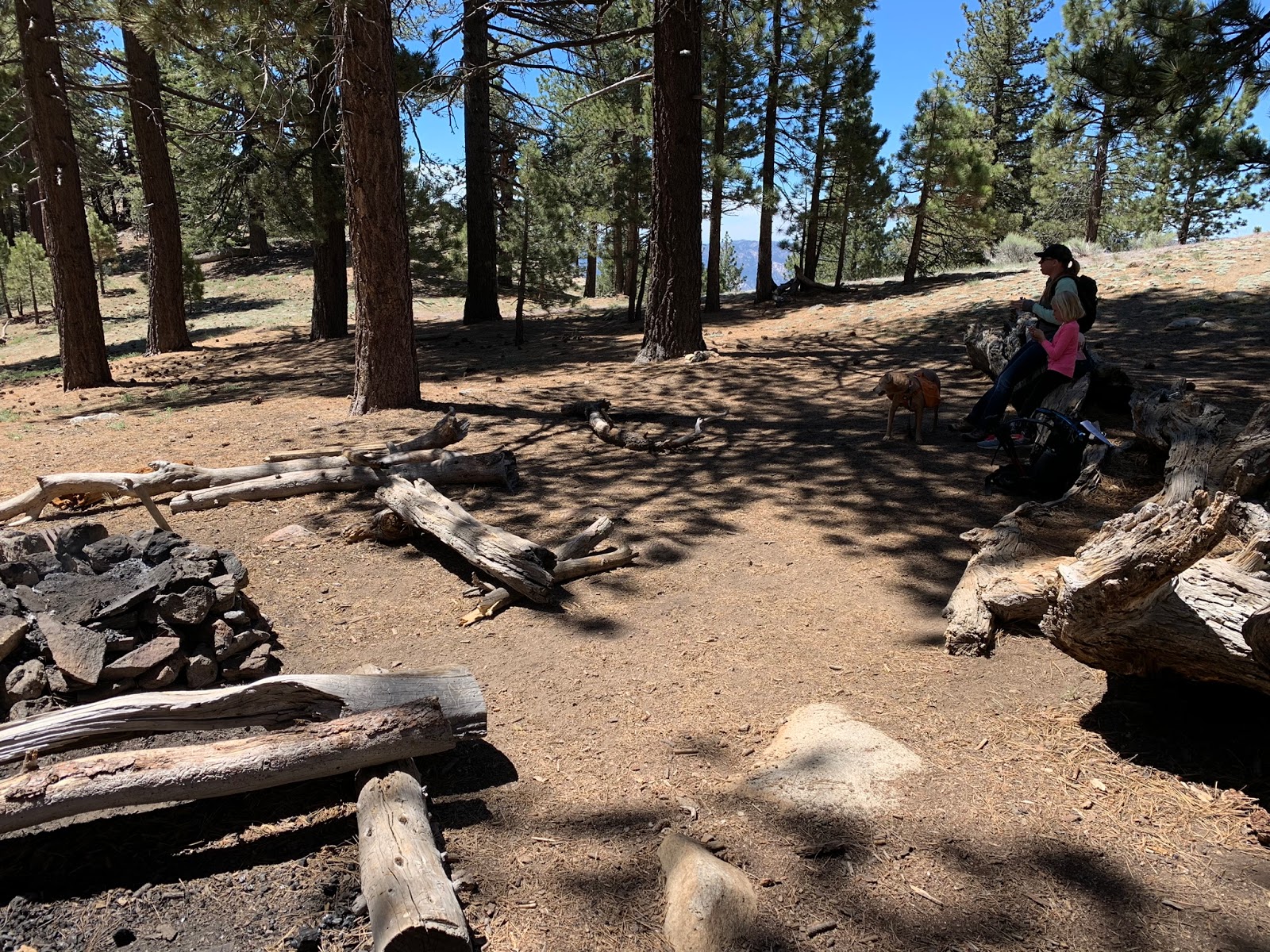
This Jeffrey Pine shaded Campground has 17 sites. Some are first come first serve others can be booked by reservation system on
https://www.recreation.gov/ Restrooms are available as pictured above, No water is accessible here you must bring your own. Overnight stays are 20 dollars per night, sites are complete with picnic tables and fire pits.
 |
| Radio Tower Atop Cerro Noroeste |
Campo Alto Campground is situated basically atop the Summit of Cerro Noroeste or also know as Mount Abel. This is also one of the Sierra Clubs 100 peak section summits. Whenever I am in the neighborhood of these I make it point to visit and sign the Summit Register. I'm not sure why the Sierra Club keeps this one on the list as its only about a 200 yard hike along a dirt road to reach the summit and a rather large(not so exciting) radio tower sits at the destination. None the less though the surrounding area is beautiful and if you are up that way its worth a stop.
 |
| Road Leading to the Summit of Mt Abel |
To reach the Summit Park near the Campground restrooms. The dirt road leading to the summit is pictured above and takes off right from Campground site #1. The actual Summit is a pile of rocks that will be on your right side a few hundred feet before reaching the Radio Tower. The register can is hidden on top. Please make sure to put the can back in its hiding place so Campers don't steal or vandalize it. Also keep in mind this area is subject to seasonal closures and the gate above Apache Saddle operated by Kern County Roads Department will most likely be locked upon first snow.
 |
| Summit Rock Pile |
 |
| Relaxing on the rock Summit signing the register |
After visiting the Summit I was off to the real business of the day and my main objective for being here. I was invited by Mark Subbotin to learn how to complete Trail and Campground surveys for the Forest Service. This day would find us surveying Mesa Springs Trail and Trail Camp.
Parking turn out pictured to the right additional parking available near the sign.
Access to Mesa Spring Trail(22w21) in this neck of the woods comes from first starting at the West Tumamait Trail(21w03). Which is conveniently located less than a mile down Cerro Noroeste Road from Campo Alto Campground. The Tumamait Trailhead sign is gone so look for the Mil Potrero sign pictured above. Directly across the road from the sign is the parking turn out. If Parking is full at the turn out pictured above you can also park along the road opposite the turn out next to the Mil Potrero Sign. N34° 49.711' W119° 12.117' (TrailHead Coordinates)
 |
| Enter the Chumash Wilderness |
Begin by heading downhill along the Tumamait Trail. Very shortly after leaving the Trailhead you cross into The Chumash Wilderness. At around 8000 feet elevation the high country here is stunning. This time of year the air is crisp and cool. Dense Pine forests provide ample shade as you make your way down the Canyon. As I have said before in other posts The Reyes Ridge and The high country of the Chumash Wilderness just might be the best of the best that the Southern Los Padres has to offer.
 |
| Tumamait and Mesa Spring junction |
At just over a half mile in you come to the junction with Mesa Spring Trail. Here you need to make a right and head south along Mesa Spring(22w21). If you are not paying attention you will blow right by it. The Downed tree you see in the photo above has smashed the Trailhead junction sign. Mark in the distance shows the route you will need to follow to reach Mesa Spring Camp. This whole trail is very well maintained and real easy to follow. Along the way we cleared a handful of downed tress. Only 4 larger ones we left but will return with a bigger 6 foot saw to take care of those soon.
 |
| Cattle Gate around 1.3 miles in |
 |
| Nice Oak Canopy |
As you make your way lower in elevation down the Canyon toward the San Emigdio Mesa the Landscape begins to change from Pines to Oaks, pinon's, and sage brush. The single track widens and starts to define the old OHV Jeep and Motorcycle track. At about 2.5 miles your southerly route turns sharply to the west along Apache Canyon. Here you start to get some very nice views of the Mesa and the badlands.
Right around 4.7 miles in you will come to a split in the route. Here is where I found the damaged trail marker sign lying on the floor. Still legible but barely.
 |
| This Sign has seen better days |
Either way you choose to take in the split here can lead you to Mesa Spring Camp (the split is a loop that connects below the camp around the steel trough). however to avoid any back tracking I recommend you head to your right, or North. From here it is only a quarter mile before reaching 1 of the 2 Mesa Springs Camp sites.
 |
| Northern Camp Site |
The first site you arrive at or the Northern site as we will refer to it is complete with fire ring and cooking grate. There is a nice flat area for tents and is very close to the spring Cistern, however it has very little shade. I preferred the Southern or main site.
 |
| Spring Cistern |
 |
| Treat water first before drinking. |
Less than a hundred feet west of the Northern Camp site is the Spring Cistern pictured above. Water is piped in from the spring above on the Mountain side. We walked up the side of the hill to the spring and its fallen down cattle enclosure fencing. and found the entire ground area above to be saturated in water which was a good thing. Word of warning do not try and turn on the faucet at the spring barrel the pipes are completely eroded and leaking. We had to put a make shift band aid on the outgoing line to plug the leak. Sooner than later this barrel and its piping network unfortunately is gonna need to be replaced. That might make an awesome scout project if any leaders out there are reading this.
New Band aid on the pipe pictured to the left. Right is the ground from the spring enclosure
 |
| Main Campsite |
From the Spring Barrel its about 400 feet Due South to reach the main Mesa Spring Campsite. Here you have a much nicer spot with shade and enough room for about 3-4 tents. The site has fire ring and cooking grate and even comes with a serviceable picnic table. I really enjoyed exploring this stretch of the forest here. If you want to visit the old steel Cattle trough its another 400 feet south of the main campsite. Basically follow the black tubing down.
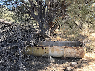 |
| Cattle Trough |
 |
| Views from atop the canyon |
Here is where we turned around and headed back to the Car. Returning back on the same route as we came in. My total for the day was around 10 miles. You can if you would like continue further on Mesa Springs trail as it eventually connects to Toad Springs OHV which can lead you south to Nettle Springs Camp. Special thanks to Mark Subbotin for the invite and the great teaching I now feel confident enough to get out and complete Trail and Campground surveys on my own for the Forest Service.