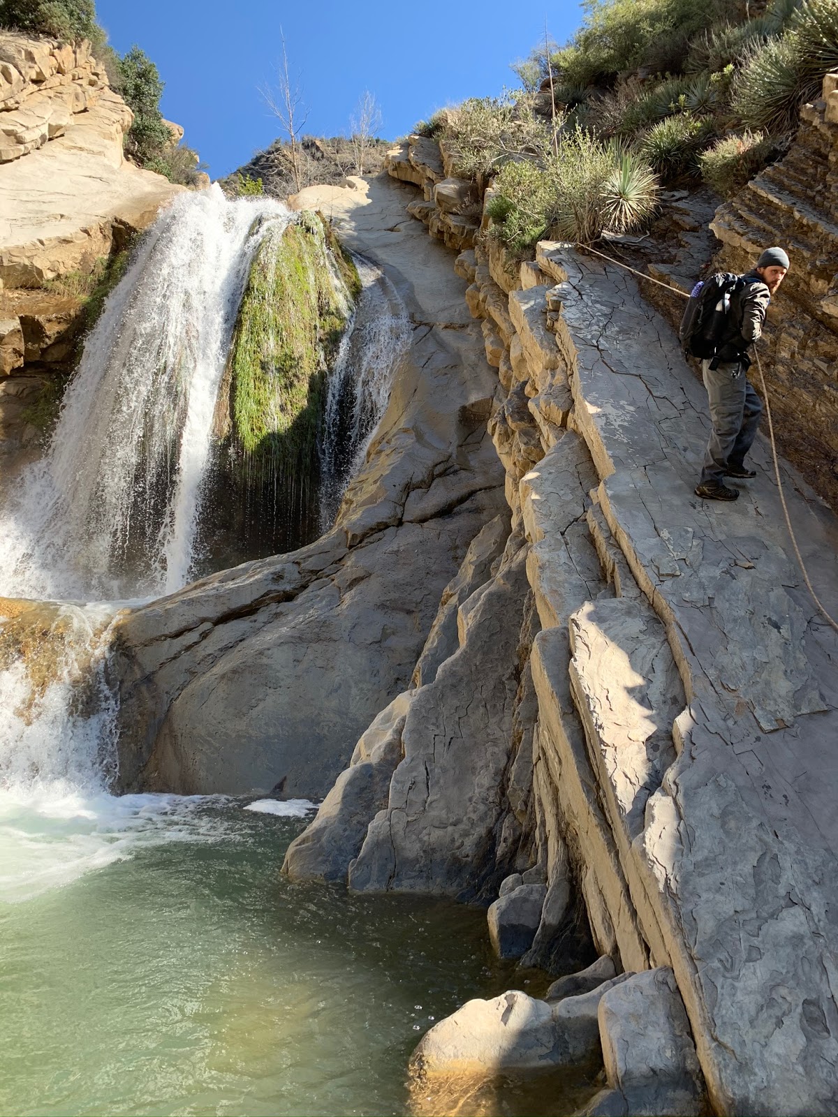
What do you do when everyone is flocking up Hwy 33 to play in the snow ? I'll tell ya stay in the lower sections and beat the crowds. Two weeks ago we were here summiting White Ledge Peak, in the last 14 days the temps have noticeably changed. The Surrounding peaks are all now covered in snow, providing a new incredibly beautiful perspective from lower Canyon.
 |
| Precisely 2 weeks ago we were standing atop that ridge |
 |
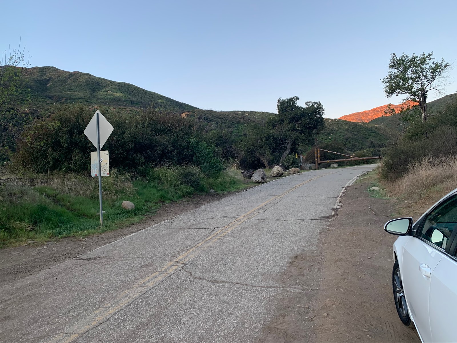
| A look back at the parking area. |
Reece and I got to walking from the Matilija Trailhead at 6:45 am. Once again we parked along the road just before the gate next to the parking lake. It was cold and we were both regretting forgetting our gloves. With frozen hands we marched on past the gate and through Matilija Canyon Ranch making sure to respect the private property and stay on the road. In a short .7 of a mile you come to the junction with the North Fork Matilija Trail (our intended route). This junction needs a new sign marking the start of the trail especially as it sits so near private property. No need to have folks wandering around in search of it.
 |
| Assuming at one time this may have been the trailhead sign |
 |
| Start of the North Fork Matilija Trail 23W07 |
Exit the road and follow the North Fork Trail here (pictured above) across the creek, in about .2 of a mile you cross into the Matilija Wilderness. A Wilderness boundary sign would be useful here and make for a great scout project hint hint Troop 111 ;).
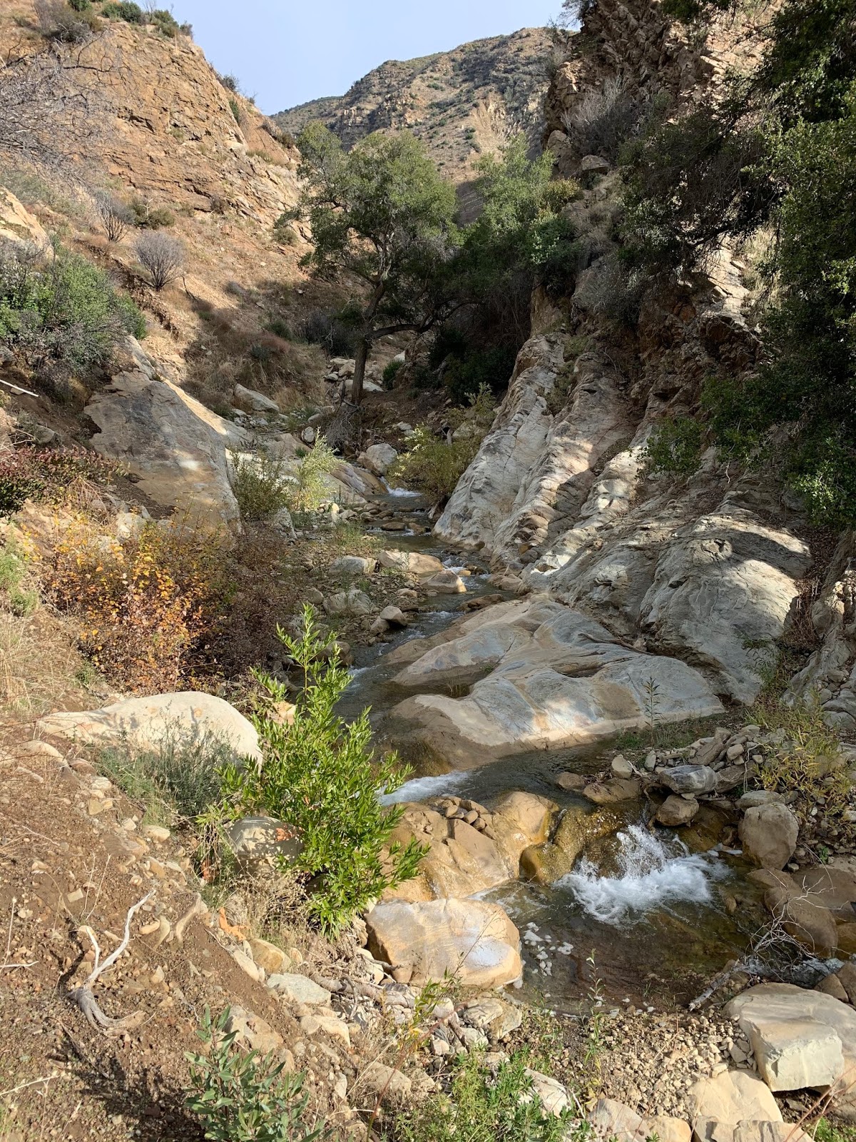
Aside from the obnoxious amount of pink flagging on both sides of the creek observed in the lower portion of the Canyon here the scenery is really pretty and hard to beat. The trail is in excellent condition and easy to follow. Meandering its way up canyon with numerous stream crossings through a shaded little evergreen forest. As can be seen above the year-round creek is flowing great right now with the perfect amount of water. We were able to navigate every crossing without getting our feet wet.
 |
| Matilija #1 (Camp Coordinates N34° 30' 54.6" W119° 22' 49.4") |
 |
| View from Matilija #1 Looking across the creek to Reece on the trail |
I consistently seem to have a full plate and abnormally large agenda with most of my trips into the backcountry and today was no exception. My ambitious hopes were to make it the 15.5 mile round trip up to Maple Camp and Back surveying all the trail camps along the way, assessing the fire and flood damage beyond Middle Matilija Camp and paying a visit to a special place that I will keep unnamed. For this report I will label the different Forest Service and user created Campsites as I see fit. Forgive me if something is not historically correct. I have limited experience in the Matilija Watershed, as of late trying to change that though. First camp up and closest to the trailhead is Matilija. All denoted miles will be from our parked vehicle. At 1.3 miles in you arrive at what I labeled Matilija #1 (pictured above). The site sits on a flat across the creek from the trail on the east bank. There is a fire ring and some makeshift bench/rock seating. The Camp is not all that easy to access and if not paying attention one could pass right by it. This is not part of the original Matilija but at some point a user created adition. (Guerrilla Site). A short distance up trail maybe 600 feet is what some may refer to as lower Matilija Camp. For the sake of keeping my map orderly I have called this Matilija #2. (Pictured below)
 |
| Matilija Camp #2 (Camp coordinates N34° 30' 59.5" W119° 22' 48.0") |
 |
| Interesting rock fire ring setup |
This streamside Camp sits on a very large well shaded flat with room for numerous tents. Making it a great option for larger groups. Again here I do not feel this is part of the original FS Matilija Camp, though all indications would appear it is currently the most popular and user friendly of the bunch. Another 400 feet further up the trail is what I believe is original Matilija camp.
 |
| Matilija Camp (Camp coordinates N34° 31' 02.9" W119° 22' 47.6" |
Here you find the classic raised Bbq grill indicative of the earlier camps. A Lot of side canyon rubble is littered about the place and the rather rocky terrain is a bit off putting. No doubt why the lower site is getting most of the attention these days. With a little bit of love this could still be a great place. Last but not least we found one more user created site about .2 of a mile past the main matilija. There's a fire ring and some rock seating in a pinch would make a fine overflow spot on busier weekends. I went ahead and called this Matilija #3. Also note every camp we visited throughout the day had water flowing and readily available for filtering.
 |
| Matilija #3 (Camp coordinates N34° 30' 59.4" W119° 22' 40.0") |
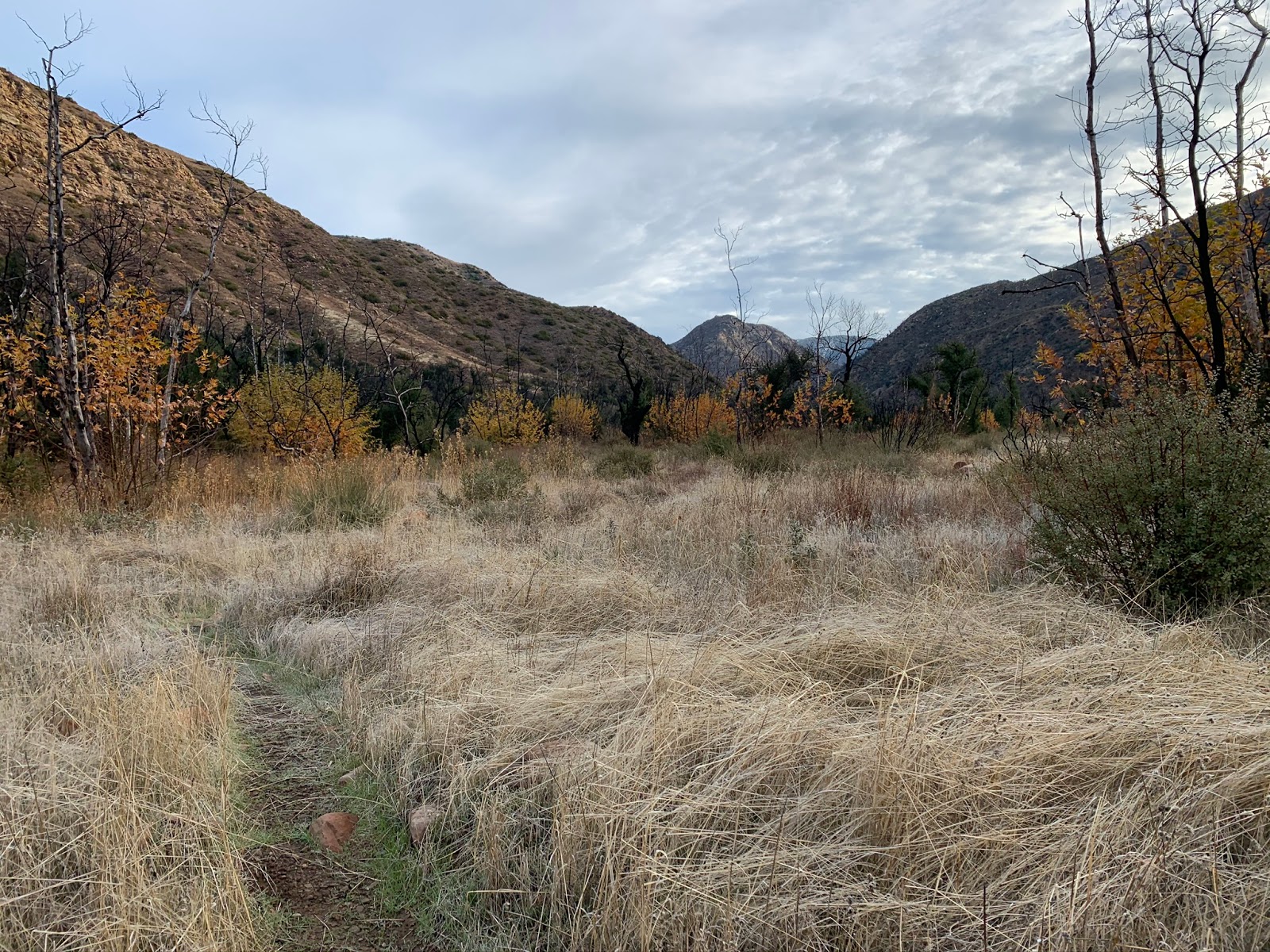
After leaving Matilija the narrow canyon widens considerably into an expansive meadow. Fall colors are abundant in the trees and tall grasses. Wide open views await the observer. While the whole way in is uphill this section in my opinion had a gentler feel. It was a nice scenic transition and best of all the tread is well manicured making travel a breeze.
About 3.2 miles in is another User Created/Unofficial Camp. This site is referenced in Bryan Conant's map of the Matilija and Dick Smith Wilderness. An excellent map I might add. If you don't have a copy you should his attention to detail is by far better than any other I have seen and I'm not just saying that because I like Bryan. I'll be harping on his HLP website a bit later in this post but his maps are damn good, that's a fact.
 |
| NFM Unofficial Camp #1 (Camp coordinates N34° 31' 12.1" W119° 21' 28.5") |
 |
| Rock Formation at the camp |
This is an enjoyable camp with a very large flat situated right near the creek. Again would make a great overnight for larger groups or anyone just wanting to get a little further from the lower more popular Matilija without having to go all the way to Middle Matilija. After leaving here you cross the creek as the trail leads you high above onto the south bank and into some excellent photo opportunities. Hope you brought the camera the views are sweet up here.


I've taken notice that a good amount of my previous posts have had lots of turn by turn mileage directions. I have kind of been wanting to make it a point of slowly getting away from that style of writing. It is time consuming, probably a tad boring and I don't know how useful my readers really find it. Not a hundred percent getting away from it because there is times that it's needed but just not all the time. This trip reflects that style of writing but being as this was more of a survey work type of outing I felt I would again layout the blog post in semi the same format that I would turn in the Camp/Trail surveys to the forest service where more detail is needed. Would love to hear some feedback from any of my regular readers if you have an opinion on the matter.
 |
| North Fork Matilija Trail Sign (Coordinates N34° 31' 20.5" W119° 21' 07.2") |
Thus far as mentioned previously the trail has been in real good shape with no major problems. This is about to end. At just over 4 miles you arrive at what I've labeled Middle Matilija #1. It's just shortly before this camp that the trail begins to get messy. I reckon this first site is another secondary user created/Guerrilla site. As you can see from the photos below the camp has a great layout with plenty of seating and space to accommodate multiple tents. The only caveat here is a few of the surrounding trees have been damaged so caution is needed as to where you set up your tent.
 |
| Middle Matilija #1 (Camp coordinates N34° 31' 39.3" W119° 21' 06.9") |
Up ahead less than .2 of a mile after rounding the sharp bend in the Creek is what I believe the original Forest Service Middle Matilija Camp. (pictured below) I can all but guarantee this site sees far less traffic than first. What I loved about this one though was the old winged style stove. The only other place I have seen this is at Ellis Apiary.
 |
| Middle Matilija Camp (Camp Coordinates N34° 31' 43.6" W119° 21' 03.7") |
 |
| Winged style stove like at Ellis Apiary |
Fire and flood have ravaged the upper middle portion of the North Fork Matilija Trail. Immediately after leaving the camp the trail becomes overgrown, washed out and difficult to follow. Knowing abouts where you should be at all times and following flagging where possible helps. I reckon Middle Matilija is the end of the line for most folks these days. When in doubt you could always just boulder hop up the creek but during higher water that would be difficult. I was reminded of the East Fork Santa Paula here and thinking in my head I hope this trail does not end up abandoned to the same fate. A good amount of rebuilding needs to take place. I was definitely pleased to hear upon return that plans are taking shape with the
Los Padres Forest Association leading the charge to soon get to work on this section. Here's a few shots below showcasing some of the trail through here.
 |
| Nothing to see hear sorry no trail just tall grass and brush |
About .7 of a mile after leaving middle Matilija keep an eye to the east for the switchbacks. This half mile section climbs the east bank up and around a few small waterfalls and section of narrow creek bed where a trail cold never be built. From the south the tread leading up the switchbacks is still good, heading north across the top the tread narrows in a few places and is steep and gets crumbly, but nothing that can't be fixed. Eventually it drops you back into the creek in a wall of brush. From the North the switchbacks are hard to spot. Out of sheer curiosity and to really get a feel for the area on the way out we skipped the switchbacks and just bouldered down the creek. I made it priority to follow the trail proper the whole way in to assess its current condition, but until it gets worked on the path of least resistance is the best bet.
 |
| The old trail zig zags back and forth across the creek several times through the upper middle portion |
 |
| View from high on the east bank |
About 1.5 to 2 miles from Middle Matilija Camp the trail opens up and once again becomes easy to follow the whole rest of the way up to Maple Camp. I noted the map below with a waypoint on where you can expect the better conditions. The good news is that really bad stretch is only confined to that small area. The bad news is I trusted the
Hike Los Padres Website for my waypoint to Upper Matilija Camp and as is the case with so many online sources for the Los Padres National Forest they have the damn location wrong. Normally I do a lot of research and double check my info across multiple sources but I just figured with this trail being really popular, current in FS inventory and in the past before the fire/flood being well maintained that they would have had the Camp waypoint correct. NOPE. In the end it's my fault but dammit I was disappointed. Don't get me wrong I love and appreciate their website and it is a wealth of knowledge but it is also littered with small trail and camp errors that I have been harping about for some time now. Praying that big website update their getting is coming soon. Before heading out I read a current report that much of the camp washed away and that a large tree fell through the fire pit. LPFA mentioned after nothing remains but an old sign post. Still though I wish I would have been searching in the right general vicinity and not so far north so I could have turned in a proper survey. Worst part of all I'm an idiot and forget that I had Conant's Map in my pocket the whole time. DOH!
 |
| One of the many awesome stream crossings |
 |
| NFM Unofficial Camp #2 (Camp coordinates N34° 33' 03.5" W119° 21' 22.0") |
Now that we were back on nice trail and making good time is wasn't long before we came upon our next user designated campsite at the 6.7 mile mark. (shown above). For all intensive purposes I labeled this one NFM Unofficial Camp #2. Here an unnamed drainage comes in from the west. The site has a large fire ring and some pretty sweet little bathing pools in the creek below. Should you feel inclined to brave the cold water. As we climbed higher in elevation the snow got noticeably closer. After approximately 3/4 of a mile past the camp we starting coming upon our first patches of white ground and yet another Campsite. Maybe an overflow for Maple or just a little further getaway from the North this little camp surrounded by conifers was tucked away just east of the trail and covered in snow. A couple short bucked tree pieces made for nice seating. The fire had a small steel grate and the flat was spacious. This site had a great feel to it.
 |
| NFM Unofficial Camp #3 or South Maple (Camp coordinates N34° 33' 27.8" W119° 21' 25.0") |
About another half mile or so up trail we reached our final destination Maple Camp. Total mileage thus far about 7.8 all uphill and well earned. It was exactly 11:45am when we pulled in and sat down for lunch. 5 hours from the car is not bad especially considering all the stops we made to gather survey data plus the one small unmentioned side excursion.
 |
| Maple Camp |


While I enjoyed all the sites we visited today Maple was my favorite. This massive flat covered in snow with it's Ice Can stoves pulled at my heart strings. Definitely on my list of places to return. In Fact in the Spring when things warm up a bit I'll come in from the North with the Family. It was hard to keep my phone in my pocket, around every bend I was wanting to take another picture. The North Fork in winter is a magical place, don't believe me go see for yourself. You wont be dissapointed. After finishing up at Maple we made our back down Canyon exiting the same way we came in. Obviously heading downhill and with less stops our time improved. I want to say it was 3:45pm when we arrived back at the car. GPS had the the total mileage at 15.4 and I felt every bit of it. I was sore. 2020 will have me turning 40. Gotta do the hard stuff now while I still can. Oh man I almost forgot on the way out we ran into another great Los Padres Wanderer
Tony Calderon and his family. Tony If you're reading this it was great finally meeting up with you brother.