|
| Saddle Skirt Camp |
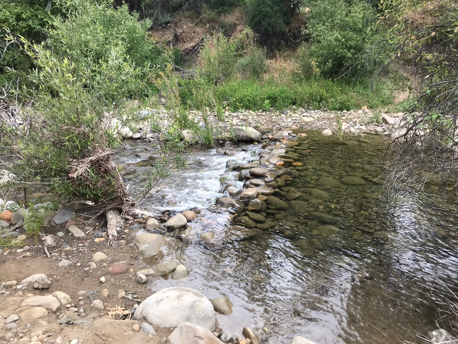
Anyone who has studied maps of the Aqua Blanca drainage has most likely seen Saddle Skirt Camp sitting all lonely way at the very top where the Agua Blanca Trail on modern maps seems to end and for those who have pondered making a serious run at it you may have noticed the location appears to vary depending on which map or online source your viewing. This can be frustrating and at the same time exciting, especially if your a trail nerd such as myself who enjoys a good campsite mystery. I jump at the chance to visit these places, especially the ones most have written off and forgotten. I don't want the memory of these spots to fade. These trips are my humble attempt to resurrect them.
 |
| Dough Flat Gate is open |
If you have not heard already the seasonal gate to Dough Flat is open for business, and the road repairs have been finished. (High clearance/AWD vehicle is best to make it all the way to the Trailhead, though I have parked 1/2 mile away and walked the rest on prior trips in my car.) Luckily my wife just got an AWD Toyota Highlander and it has been smashing the dirt roads, I'm thoroughly impressed with it's performance thus far.
 |
| Where is the trailhead sign ? |
 |
| Dough Flat Trailhead |
I was under the impression that Dough Flat got a brand new shiny Trailhead sign, so was eager to see it. Immediately upon pulling in I noted there is no sign at all. So either it has not been installed yet or someone stole the new one. Hopefully it's the former. Why would the old one be removed though if the new one had not been installed ? Apparently I will not know the answer to this until my email to the Forest Service receives a response.
 |
| Sespe Wilderness Boundary sign is falling apart |
From Dough Flat we followed what's now the Alder Creek trail on a gradual uphill grade. In approximately 1.4 miles on your east side is a spur trail that leads you to Squaw Springs and the non designated Camp. Water was flowing at the site, however the camp is getting quite brushy.
 |
| Squaw Springs Guerrilla site |
This section of Alder creek trail has some outstanding views of Whiteacre, Topatopa, and Sulphur peaks. I could clearly see the old Fire Lookout on Topatopa.
 |
| Whiteacre Peak |
 |
| Sulphur Peak breaking through the Clouds |
 |
| Click photo and zoom in to see the old Lookout Tower which now sits in the condor Sanctuary |
At about the 2.5 mile mark is the junction with Bucksnort Trail, exit Alder and head to your right up Bucksnort. As I have mentioned in past posts the condition of the sign here is garbage, a new one would be ideal, even decals would be better than nothing.
 |
| That's me doing my best to showcase this sign that has now become a chalkboard :( |
Being as this was my first time travelling Bucksnort I was surprised to roll up on this Really nice little Guerrilla site less than a half mile from the junction. The Big rock really highlights the camp and makes for a nice bench. Great rock fire ring, makeshift seats and a large flat area. Would make a nice spot when water is flowing through the nearby tributary.
 |
| Bucksnort Guerrilla Site |
 |
| Looking back on the camp and the giant boulder. |
 |
| Another nice flat not far from the Bucksnort Guerrilla site, it's these areas where the trail tread tends to disappear. |
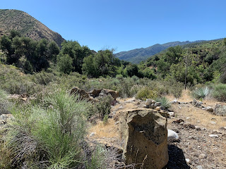
This section before dropping down is pretty wide open and the trail is easy to follow. Through the multiple flat areas it has a tendency to disappear but can be fairly easily picked up again. Closer to the 4 mile mark major brushing is needed in spots along the route. The steep descent to Ant Camp is where most of the trail work should be focused. Now with that being said the tread is still there and was easier to follow than I expected it just needs folks to keep walking on it.
 |
| Dropping down to the Agua Blanca |
 |
| Last few trips have been blessed with killer Yucca shots |
 |
| Cobblestone Mountain |
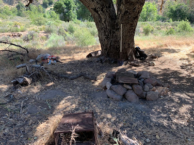
Before approaching Agua Blanca Creek at the 5.5 mile mark is the short spur trail that leads you east to Ant Camp. (Camp Coordinates: N34° 34' 33.9" W118° 53' 09.9")
 |
| Ant Camp |
 |
| The picnic Table here has seen better days |
 |
| Nice rock fire ring with cooking grate |
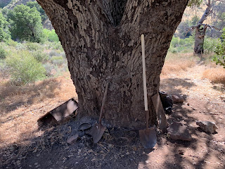 |
| Extra cooking grates are scattered about and appears the Camp got a newer shovel |
 |
| Trail leading into Ant |
 |
| Another small fire ring 300 feet northeast of Ant Closer to the Agua Blanca |
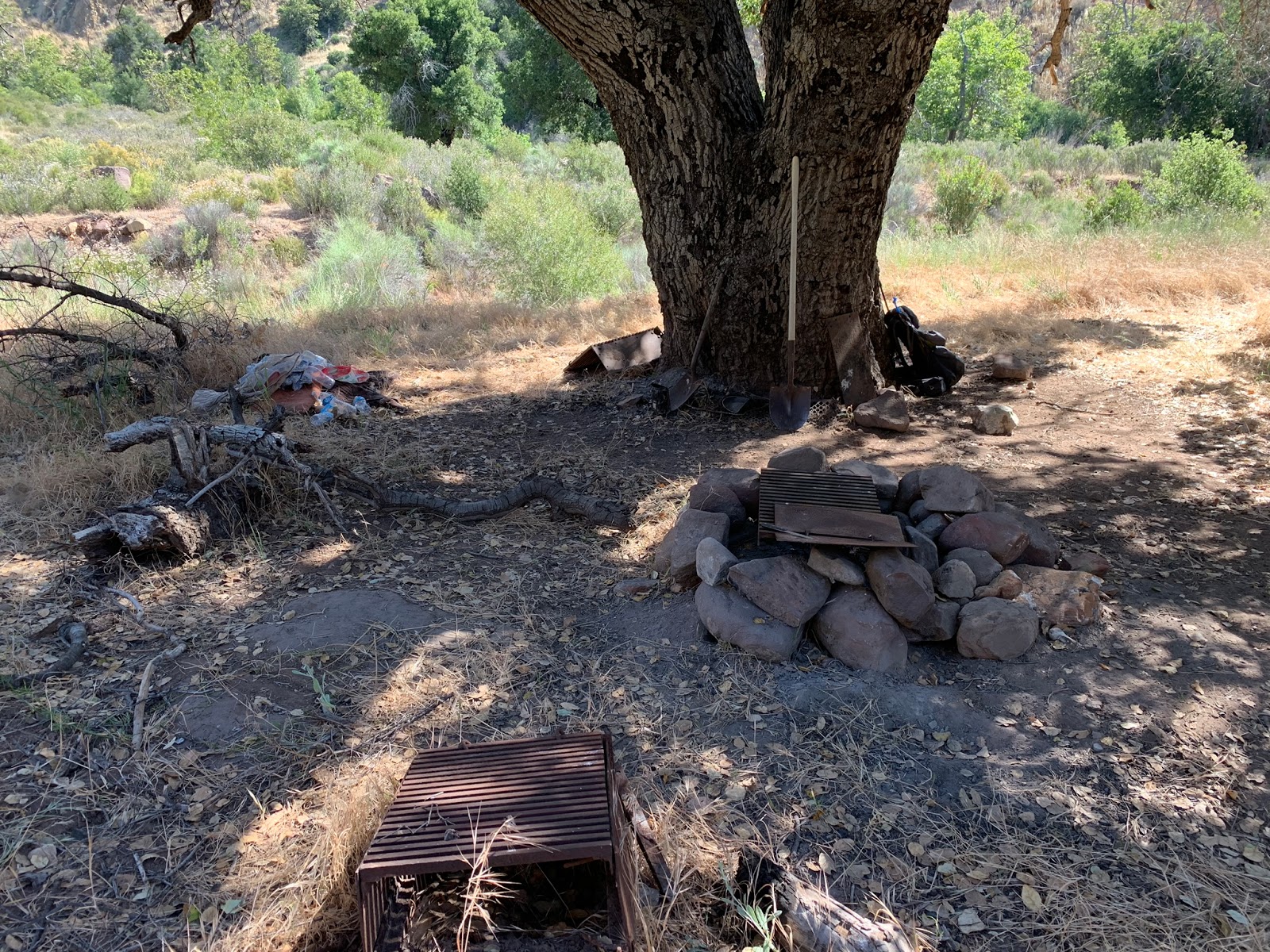
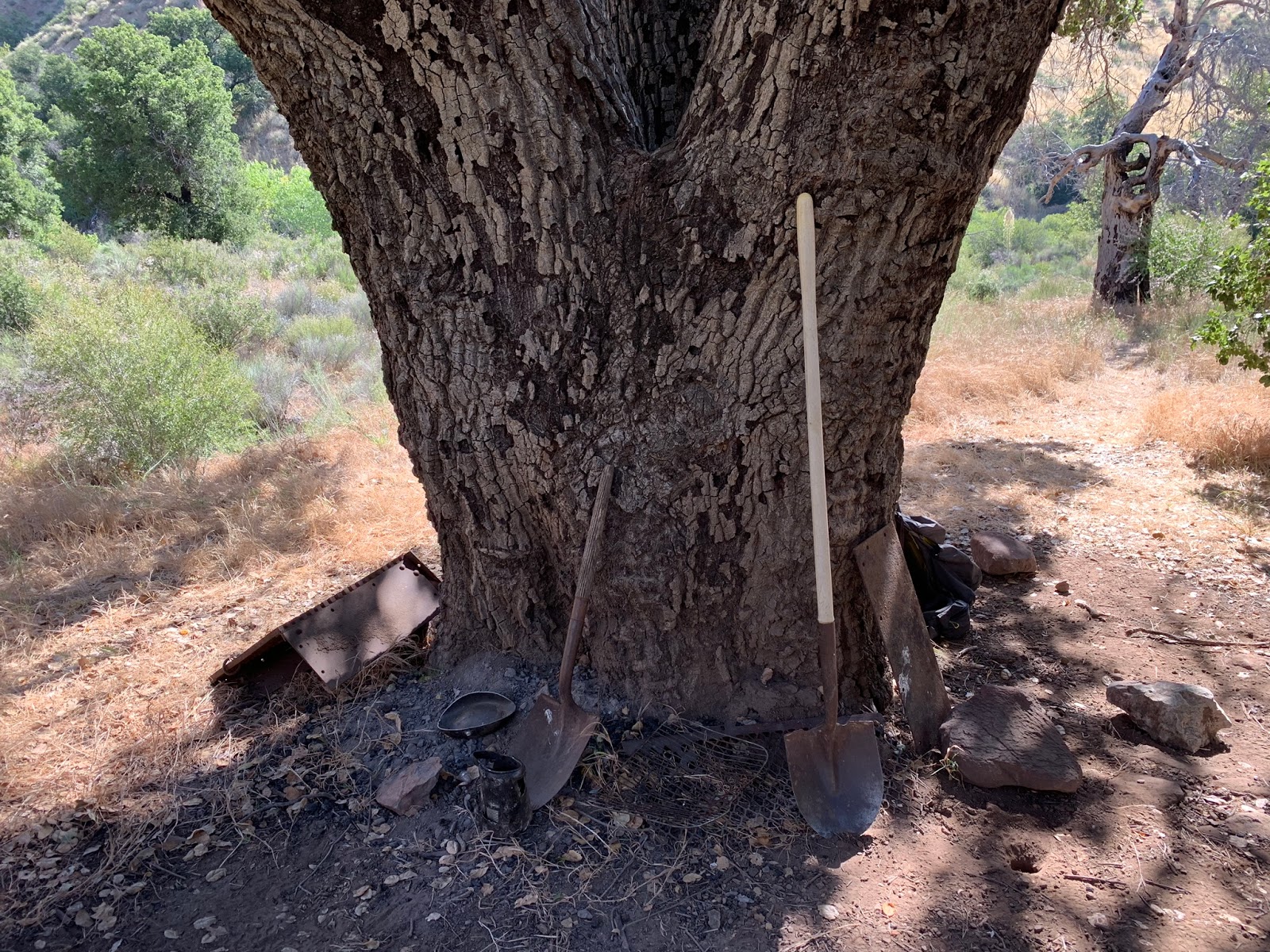
Ant Camp is basically situated at the Junction with Bucksnort and the Agua Blanca Trail. The camp at times can be heavily loaded with ants, hints the name. The tributary running near Camp was dry however the Agua Blanca was flowing nicely a few hundred feet away. Unfortunately we found the camp loaded with trash. Pisses me off to no end that people can't pack out there shit. A prime example of why we can't have nice things. While I was completing the Camp survey paperwork Reece was busy running about the area collecting all the trash into one pile and trying to spruce up the place. On the way out I strapped this huge load of crap to my back and carried it back to my car. The added weight, midday heat and climb back up Bucksnort needless to say was not very enjoyable. Thanks assholes.
 |
| Pillows, blankets, clothes, bottles and general trash left everywhere |
PACK IT IN PACK IT OUT. DON'T TRASH OUR WILDERNESS
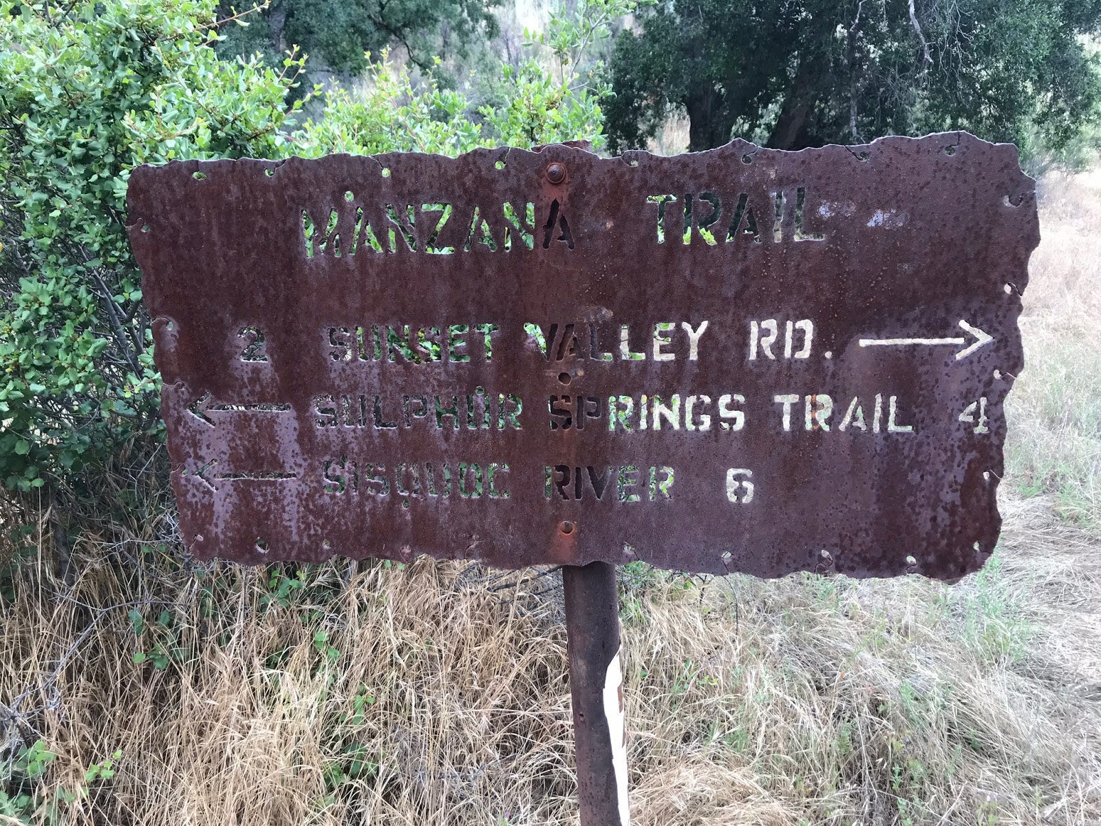
After leaving Ant is when things start to get real tricky, this is essentially the end of the road as far as modern times are concerned. Although many decades ago one could continue along the Agua Blanca 19W10 upstream to eventually connect with the old Cobblestone Mountain trail 18W03. (Someday I will complete that loop, high on my list is a visit to borracho and Halfway Spring.) Before continuing into the hellish abyss of poison oak and overgrown nastiness that awaits up the trail toward Saddle skirt is this old 19W10 trail sign. Note the wrong mileage. My guess for why it was never corrected is because travel past here is relatively non existent theses days. The new motto of let the trails die and the signs along with them is readily on display throughout the Los Padres. An unfortunate reality for our generation, and why volunteer trail work and donations to nonprofits like the
Los Padres forest association are so vitally important for keeping our trails maintained.
 |
| 19W10 Trail Sign |
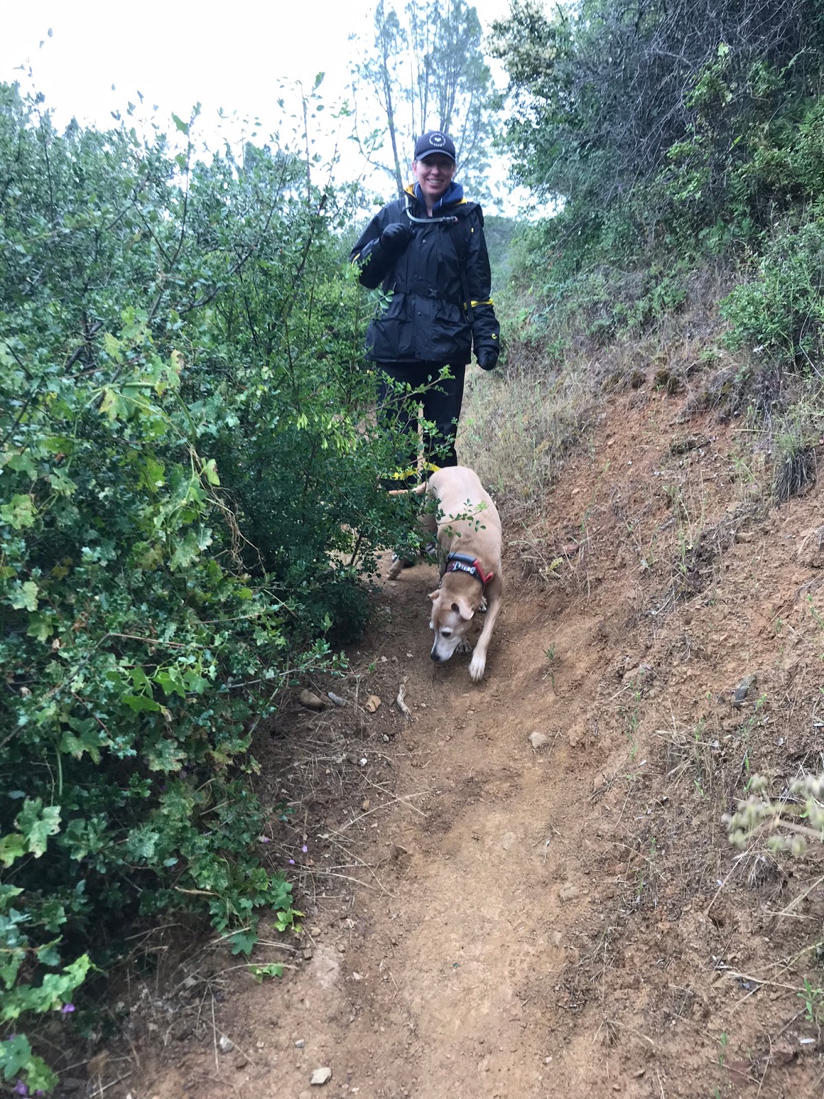
Almost 2 hours is what it took for us to get the 1.5 miles from Ant To Saddle Skirt. If you are sensitive to poison oak do not even consider attempting this route, it is unavoidable and was slapping me in the face constantly as I trudged through fields of it. Remarkably as of this writing (knock on wood) I have no rash, as I believe I may have a high immunity to the stuff. I learned the hard way that the trick to navigating this section is to be very diligent about following the old trail as much as possible. Having it loaded correctly into a GPS will be of great benefit as this will make you aware of what side of the creek you should be progressing up. The crossings are especially difficult and confusing. The overgrowth does a good job at hiding everything, however remarkably the tread is still there in a quite a few spots and once we had it figured out we were able to exit in half the time.
 |
| That's Reece trying to be graceful |
 |
| The trail starts by bashing through this wall of goodness |
 |
| Spacing in the creek gets tight, some areas close off completely with no chance of direct travel through the water |
 |
| Sure is pretty in this drainage |
 |
| It's not all jungle there are some nice open flats |
If your not paying attention you could easily pass by Saddle skirt and not know it. The trail is good and wide open directly across from camp on the east side of the Agua Blanca and the camp lies hidden on the west side by a wall of trees. Saddle Skirt sits nestled on a large flat where the Agua Blanca and an unnamed drainage coming in from the west meet. Water here was flowing at the time of our visit. (Camp coordinates: N34° 35' 18.5" W118° 53' 13.2")
 |
| Saddle Skirt site #1 |
 |
| View of the Flat looking away from camp |
 |
| Second Ice Can stove and what I'm labeling site #2. I had to dig out the stove it was buried in debris , we almost did not see it at first. |
 |
| Opposite side of the Flat looking toward Camp |
 |
| Yes this is now Lost In The Los Padres register #2 site complete the customary REI Gift Card. |
 |
| Agua Blanca water level at Saddle Skirt as of June 22, 2019 |
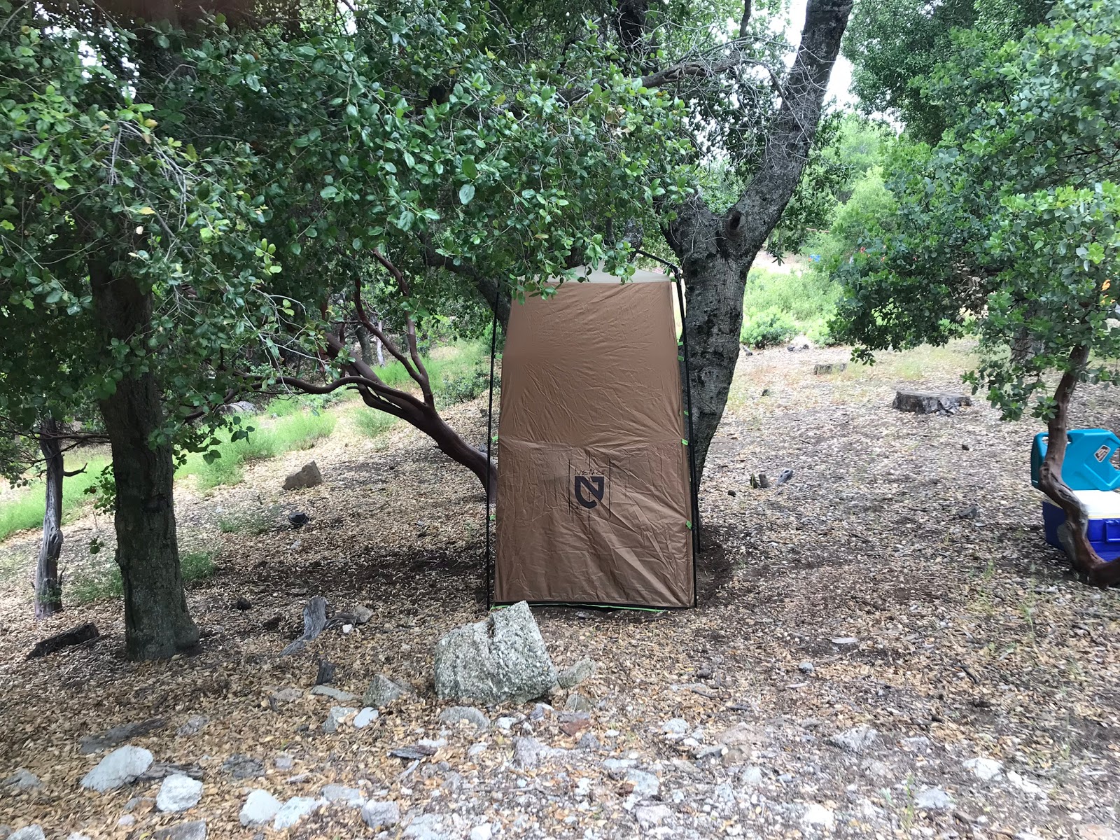
While not the most glamorous of Camps, there are still two very nice Ice can stoves.The flat is overgrown with grasses but large enough for plenty of tents. You won't find shade, however you can expect a healthy dose of solitude and if you get there quickly you can probably snag the 20 dollar REI gift I left in the new Lost In The Los Padres Site Register #2. Remember the first one was dropped at Last Chance Camp. (If you are the lucky one please return to this post and leave a comment, I'd love to hear from you.)


Finally visiting Saddle Skirt was a great feeling, I hope maybe in the future some maintenance can be done to help open up the trail and make it a bit more manageable for the casual observer to enjoy. For now it remains a trek for the hardy adventure. After completing another Camp survey we left the same way we came in. Total mileage was 14.6. Included under the map is my GPS track and KMZ file for download. The mileage on the Relive video is not correct but still fun to watch nonetheless.